Mines & working areas
Get maps and dated imagery for the site team.
Capture agreed pit and bench surfaces, access roads and working areas. Agree the survey boundary, intended use and any sign-off requirements with the mine’s team before the visit.

Know what is on the ground and what changed between visits. We work with mine, quarry and materials teams to measure stockpiles, map selected working areas and record the same site before and after planned work.
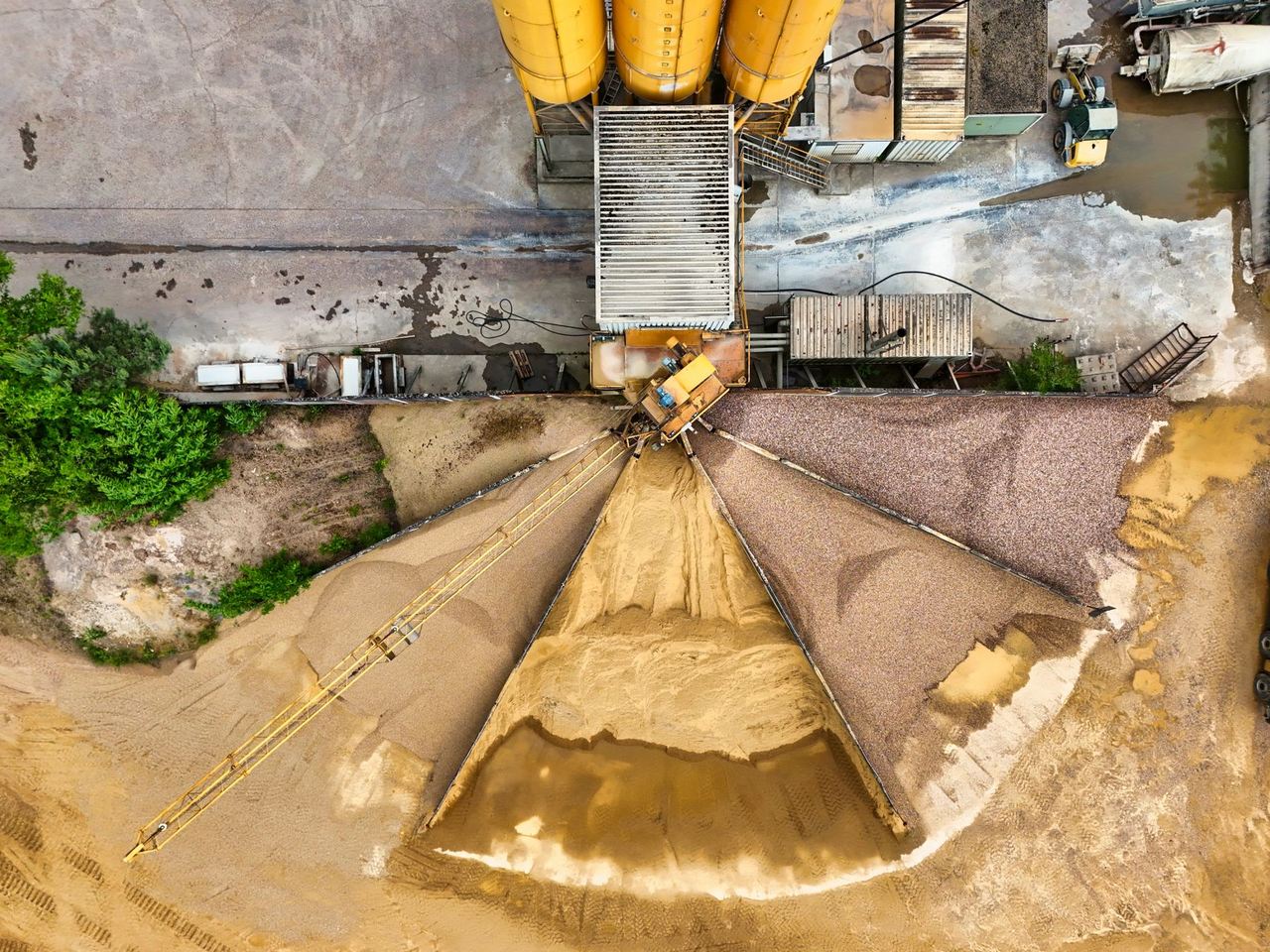
Measure stockpiles by pile and compare changes between visits. Get a dated volume record for your mine, quarry, yard or plant.
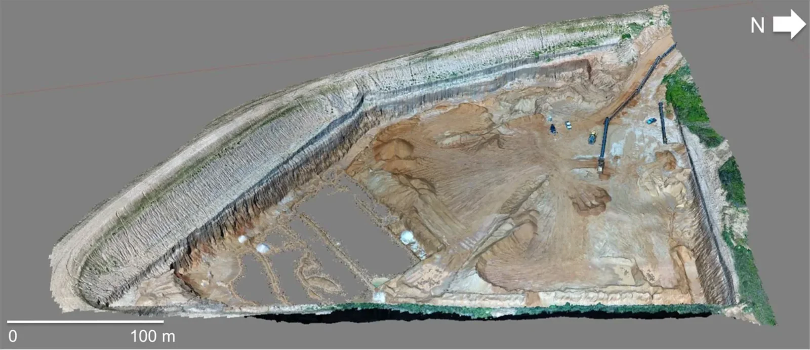
Get an aerial map or 3D surface of agreed mine or quarry areas, with useful context for planning and repeat records.
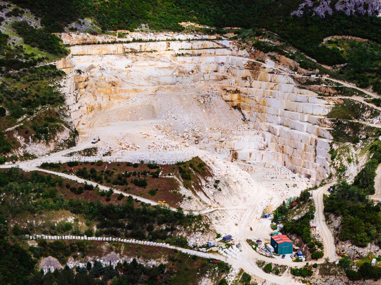
Keep dated drone photos or maps of the same work areas. Book pre- and post-blast records or scheduled mine-monitoring visits.
Get maps and dated imagery for the site team.
Capture agreed pit and bench surfaces, access roads and working areas. Agree the survey boundary, intended use and any sign-off requirements with the mine’s team before the visit.
Measure stockpiles by pile and compare repeat visits.
Use an agreed pile list and dated volumes to support inventory checks. We can add an overview of the yard or quarry so your team can find each measurement area.
Compare selected ground surfaces and visible site changes over time.
A map or set of repeat photographs can support rehabilitation, drainage or working-area records. Ask about a separate before-and-after brief when the dates or reporting needs vary.
Choose labelled pile volumes, aerial maps, surface models or repeat imagery. We agree how the site team will use the record and where more specialist input is needed.
Ask about haul roads, rehabilitation areas, water assets and site footage.
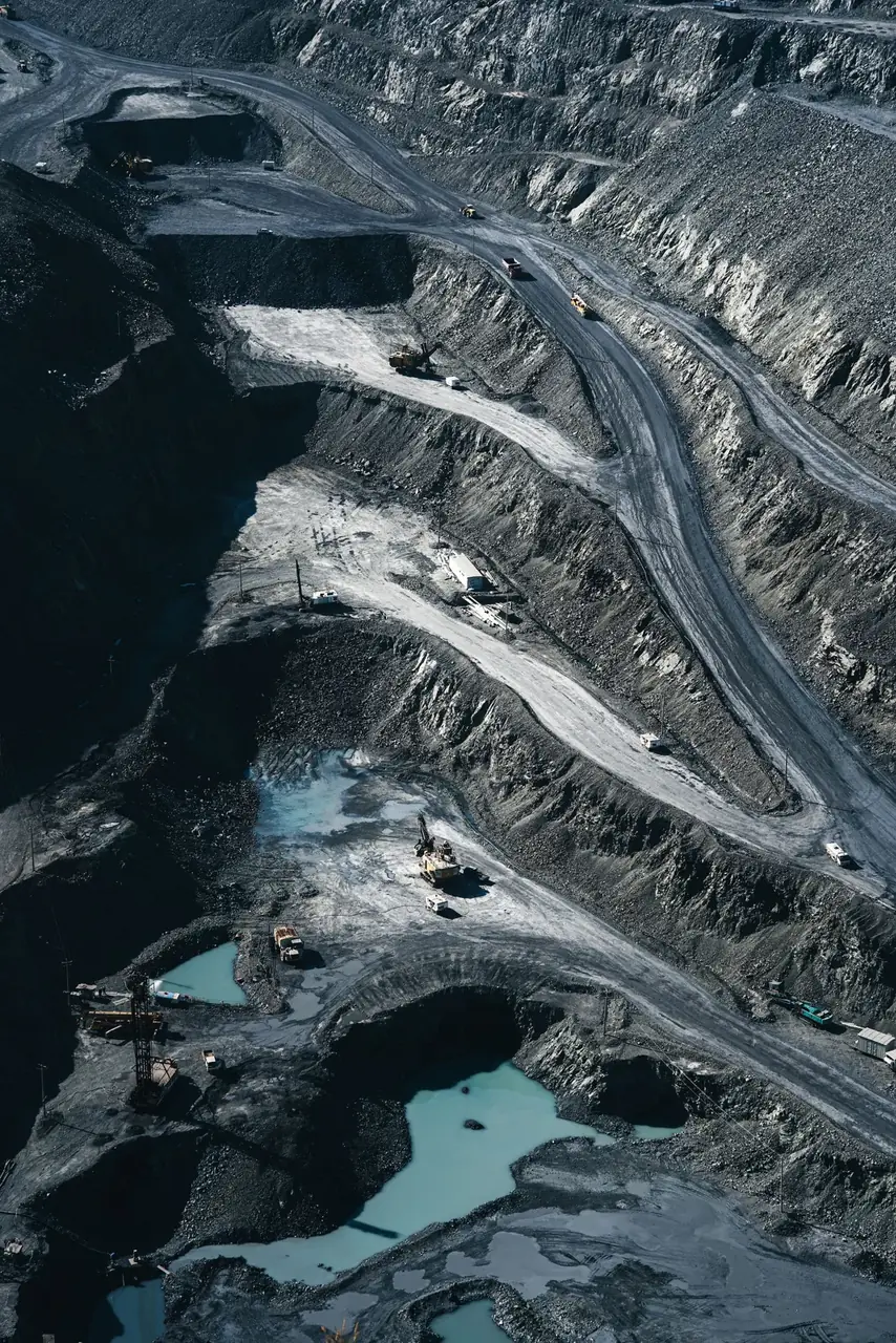
Mining
Get a dated view of the route your team needs to review.
We capture agreed road sections, crossings, slopes and visible drainage or access features on the site. The output can be a set of labelled photos, a route overview or a mapped layer if required. Ask about repeat visits for working areas that change often.
Send the route, approximate length, the site access contact and what you need recorded.
Ask about haul road mappingMining
Follow visible changes across land under rehabilitation.
We can map agreed slopes, vegetation cover and areas showing visible erosion. A baseline and a later visit give the team a record to compare. If the brief needs specialist interpretation, ecological advice or formal reporting, agree that scope before the first capture.
Send the site boundary, earlier records, the areas of concern and how often you want to compare them.
Discuss rehabilitation mapping
Mining
Give the site or engineering team current aerial images of selected areas.
We can capture agreed visible areas around a tailings facility, pond, dam or channel. Label features for the engineers or site team to find, and compare repeated capture when required. The imagery supports their follow-up and assessment.
Send the site, areas of concern, reporting purpose and access contact.
Discuss mine water imageryMining
See hard-to-reach details before planning a follow-up check.
We can capture visible exteriors of agreed equipment, structures and elevated components, subject to the site’s access and operating arrangements. Ask about tagged images or a matched thermal view where it suits the asset and brief. Your technical team decides what the images warrant next.
Send the asset list, areas to check, site restrictions and required output.
Ask about plant and equipment checksMining
Show the scale of the site and the work being done.
Book a standalone shoot or add agreed photography to a planned site visit. Use the footage for contractor updates, internal communication, a project record or a promotional edit where release is granted. We agree access, what may be filmed and how the material will be used.
Send the site, brief, required footage and the person who can approve filming and release.
Discuss mine site filmingMining
Get a dated record for the yard, pit or working area you manage.
We can scope a site map, selected stockpile volumes or repeat measurements for aggregate yards and borrow pits. Agree the pile names, surfaces, material areas and what the numbers will be used for. Ask about grouping nearby locations if several sites need the same work.
Send the location, site boundary, pile count and required measurements.
Ask about a yard or pit surveySend the site pin, the areas or stockpiles to cover and the date the team needs the result.