Drone services and commercial production from Pretoria.

DC Geomatics · ASL G1240D

Construction & Earthworks

Photo chapters
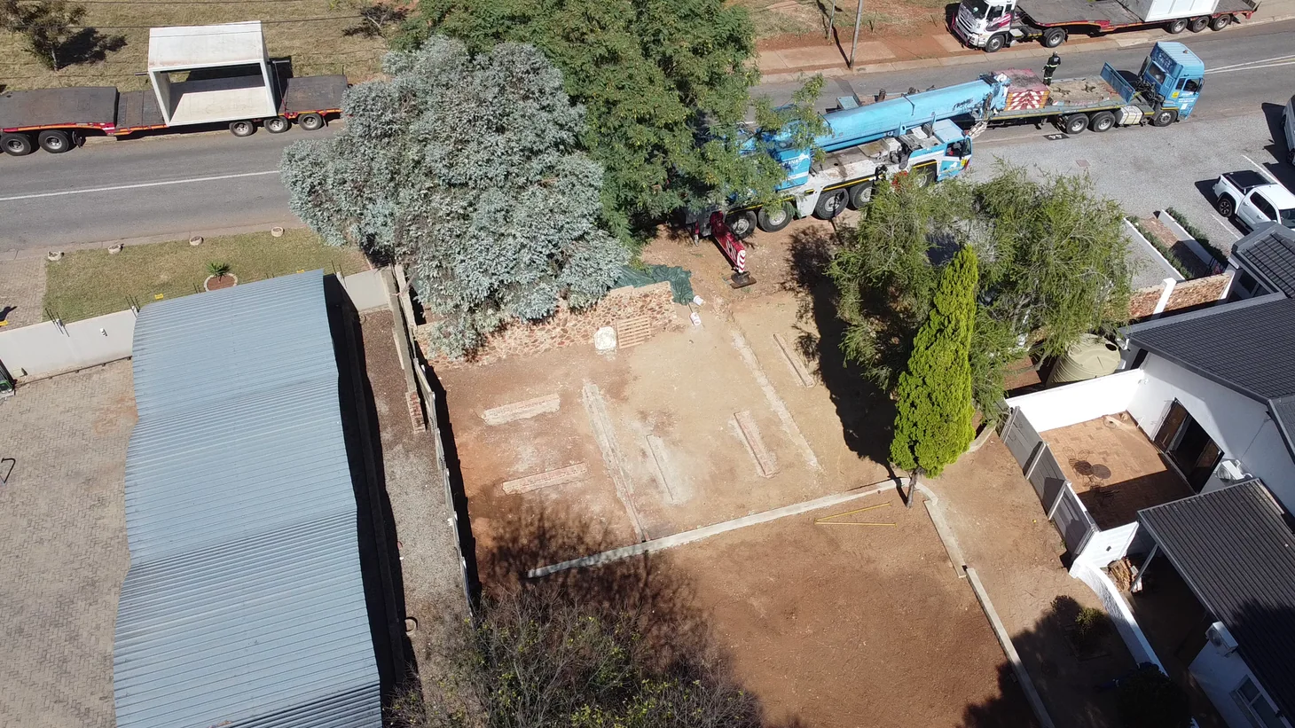
Building foundations, concrete and site equipment seen directly overhead

Keep a dated record of your site, map the ground and measure how much material has moved.

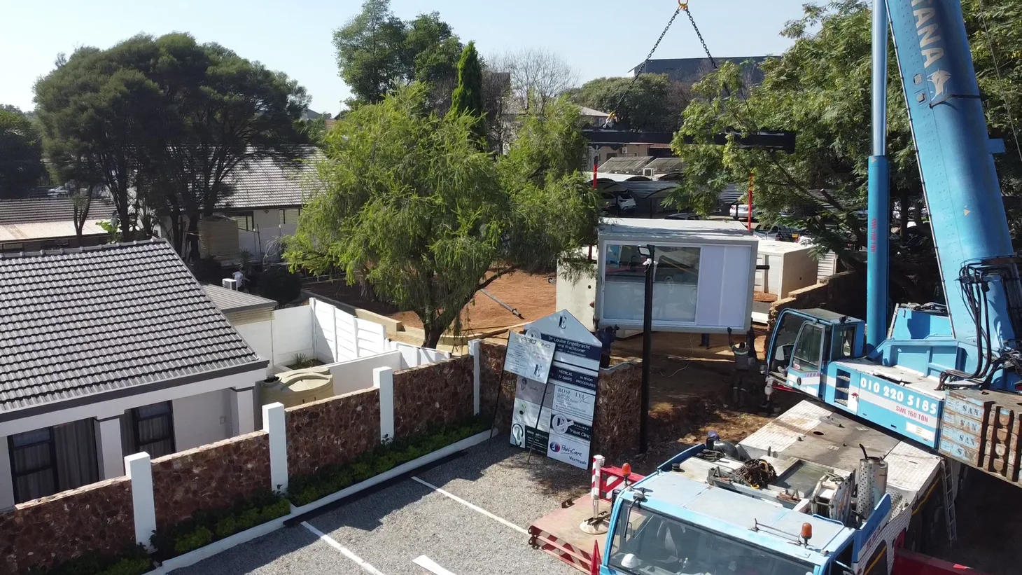
A blue crane lifting materials at a building site

See progress from the same viewpoints from start to handover.

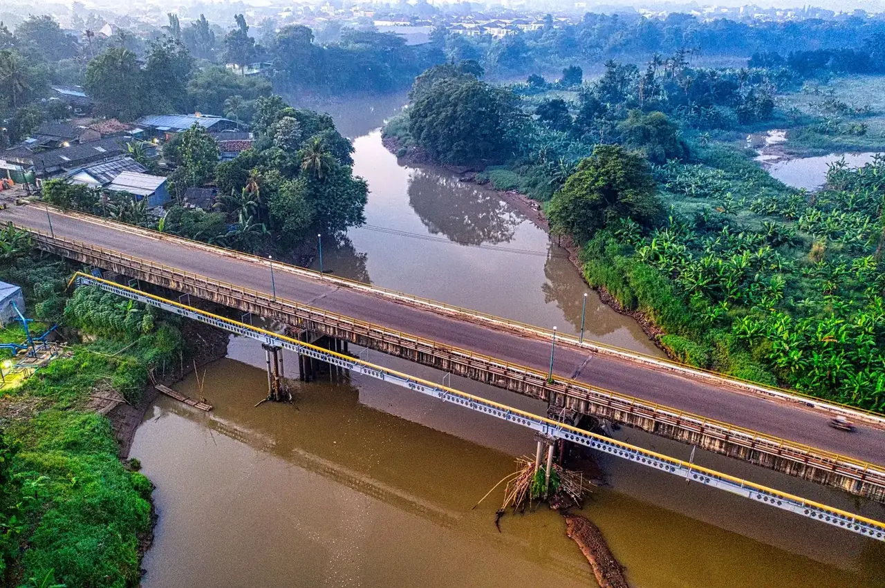
A bridge crossing a river and vegetated floodplain

Record changing work areas, access and visible drainage along selected sections.

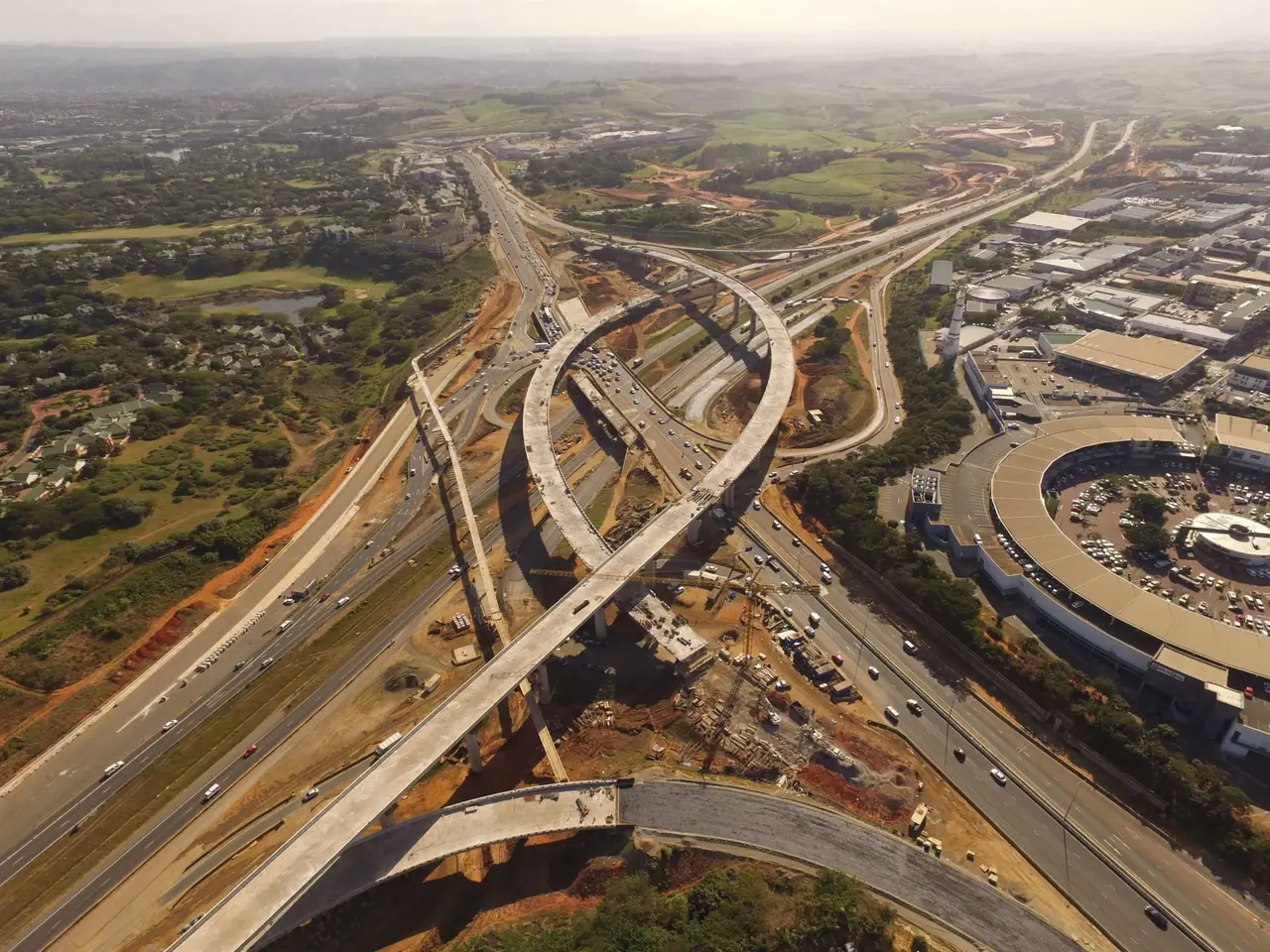
An aerial view of connecting highway ramps and graded road corridors

Map work platforms, laydown areas and agreed freight-yard sections.

Main services

See what changed since the last visit, give your team an up-to-date aerial map, or measure cut and fill against an agreed surface. We work with contractors, developers and project teams on building sites and civil works.

Main construction & earthworks services

Construction sites, roads & civil works

Construction sites

See progress from the same viewpoints from start to handover.

Start with a dated site overview and agree the stages or areas to cover. Repeat photo visits help the project team show how work is progressing. Add a map or measured volumes when the team needs more than a visual record.

Roads & bridges

Record changing work areas, access and visible drainage along selected sections.

Capture agreed roadworks, bridge approaches, culverts or embankments. An overhead view helps the team see how the area fits together. Close-up images can show visible details that need an on-site check.

Civil works & yards

Map work platforms, laydown areas and agreed freight-yard sections.

A site map helps the team see access routes, storage areas and the limits of current work. Quote yard or short corridor surveys around the area, permissions, intended use and accuracy required.

What you receive

Choose dated photos, stitched aerial maps, 3D surfaces or volume comparisons. We agree the site boundary, reference points and output before the visit.

Additional services

Ask about road sections, drainage, handover imagery and data processing.

A bridge crossing a river and vegetated floodplain

Construction

Road, Bridge & Civil Works Surveys

Get a dated aerial view of a selected section of your project.

We can map or photograph agreed roadworks, culvert approaches, bridge exteriors and access areas. Choose overhead context, close-up records or a measured survey based on what the team needs. Longer corridors and active transport sites are scoped with the relevant access and operating arrangements.

Send the route or area, the features to cover and the output you need.

Discuss a road or civil survey
A bridge crossing a river and vegetated floodplain

Construction

Drainage & Erosion Mapping

See where water moved and what it affected.

We photograph and map agreed channels, slopes and disturbed areas. The resulting record can help your team locate visible washouts, obstructions and erosion or compare changes after a storm or repair. Choose an annotated photo set, a site map or a repeat visit.

Send the site pin, issue locations and any earlier images you want to compare.

Ask about drainage or erosion mapping
A blue crane lifting materials at a building site

Construction

Site Records & Handover

Give the project team a clear visual record of the site on an agreed date.

We photograph finished areas, agreed details and the wider site so the record is easy to follow. Use an early visit to document baseline conditions, then return for a milestone or handover set. Add matched views where the comparison matters.

Send the project milestone, site contact, areas and details to record.

Plan a site record or handover shoot
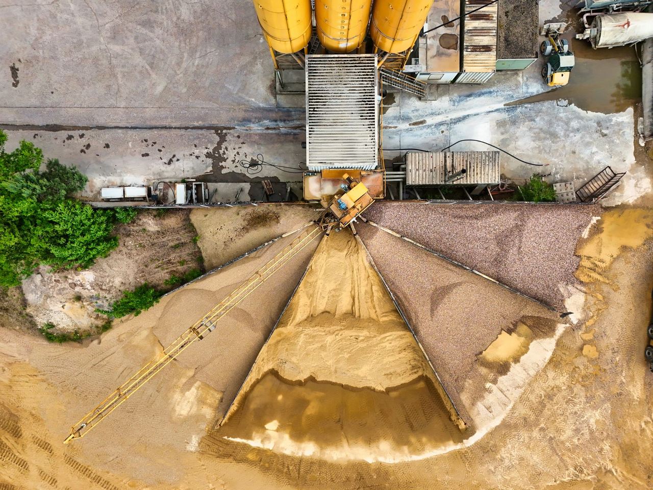
Material stockpiles and processing equipment seen directly overhead

Construction

Stockpile & Material Checks

Know which piles changed and by how much.

We capture the exposed pile surfaces, agree how to define the base and report the volumes by pile. The service can be added to a construction visit where the schedules align. Ask about a yard overview, repeat dates or density-based tonnage estimates.

Send the site, number of piles, date and whether you want a one-off or repeat survey.

Ask about a stockpile check
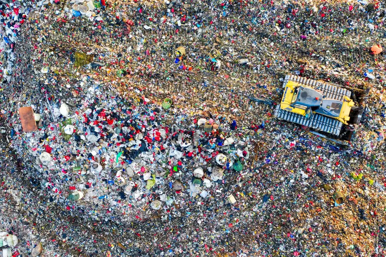
Aerial view of plant sorting material at an active landfill

Construction

Landfill & Recycling Site Surveys

Keep a dated record of material sites and how their surfaces change.

We can capture agreed recycling yards, disposal areas and material piles for maps or volume measurements. Repeat surveys can help the site team compare how the surface has changed. Ask about specialist input where formal landfill airspace, capacity or compliance reporting is required.

Send the site boundary, reporting purpose, area to measure and visit frequency.

Discuss a landfill or recycling survey
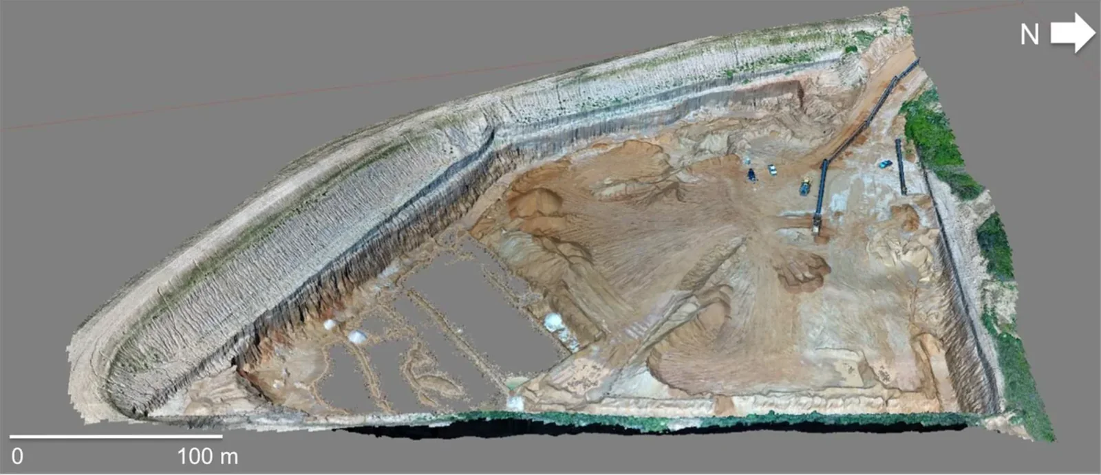
Textured three-dimensional drone model of a quarry site

Construction

Drone Data Processing

Have drone images already? Let us check what the data can deliver.

We assess coverage, image quality, position data and any control before quoting. Depending on the dataset and intended use, we can scope a stitched colour map, a 3D surface or agreed CAD and GIS exports. If another capture is needed, we can discuss the missing areas.

Send a sample, flight notes, control information and the files or measurements you need.

Ask about drone data processing

Request a quote

Send the site pin, the work area and whether you need photos, mapping or quantities.

Plan a construction drone visit
Vision Dynamics