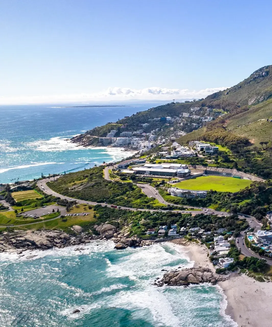
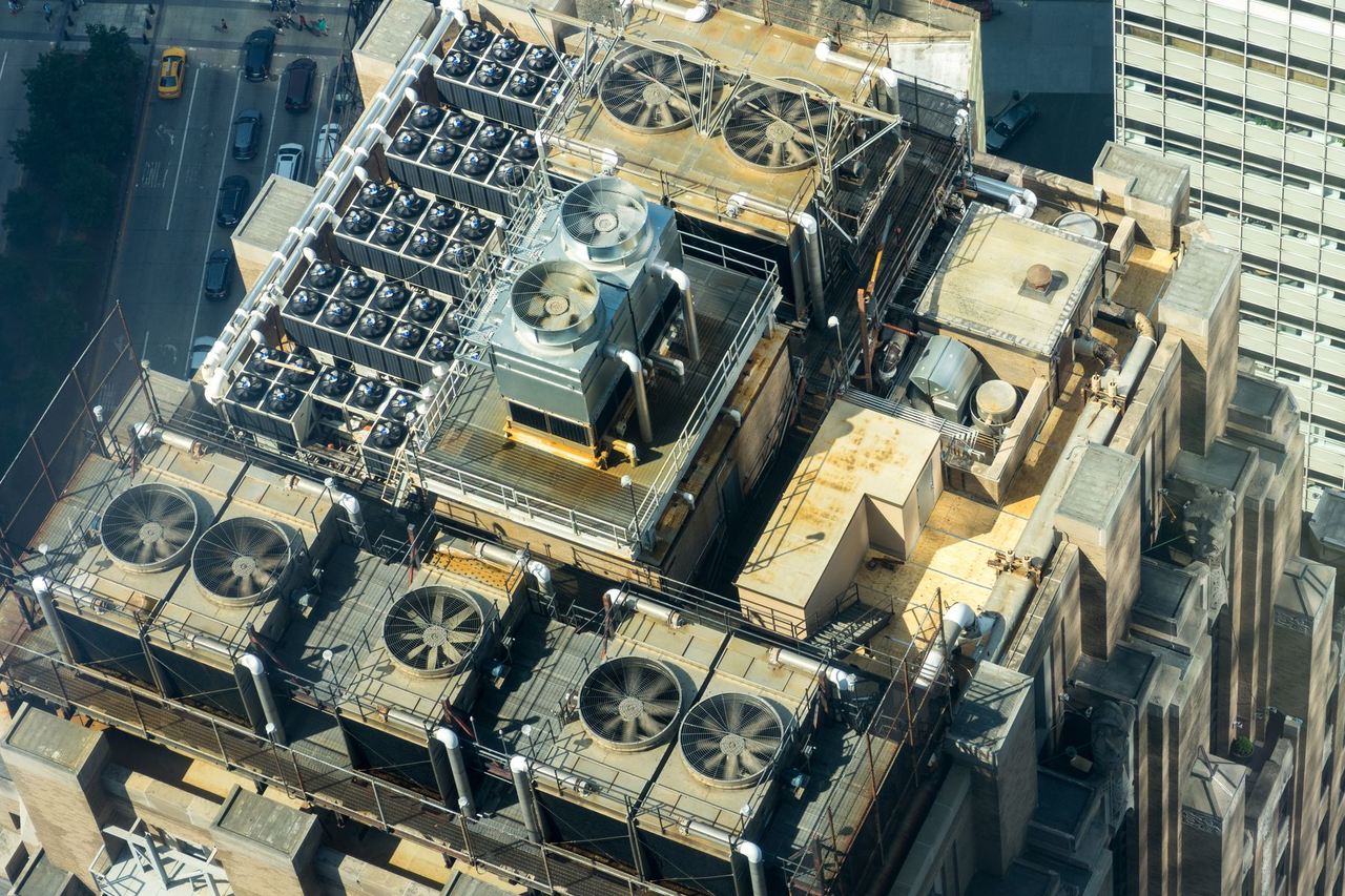
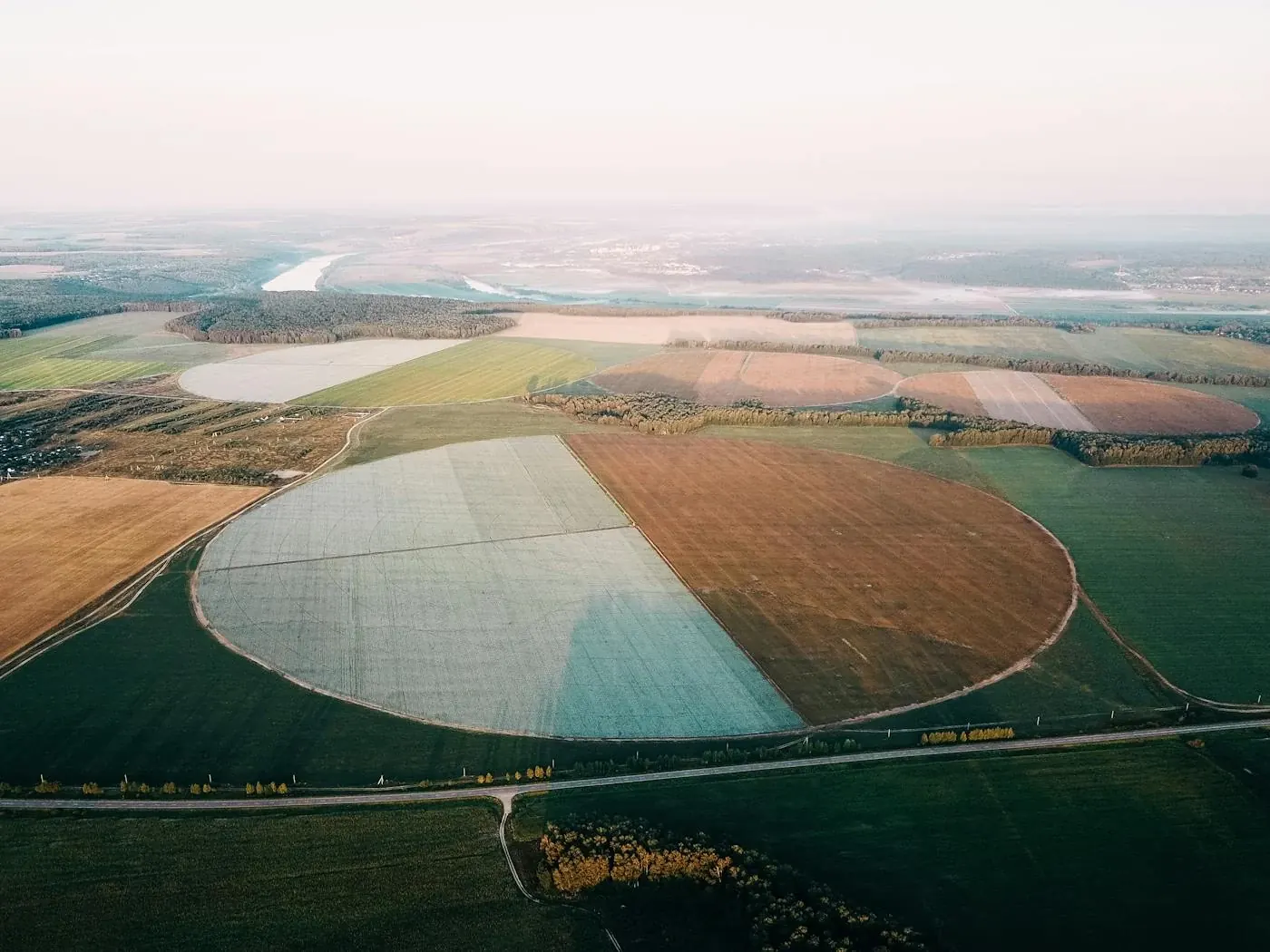
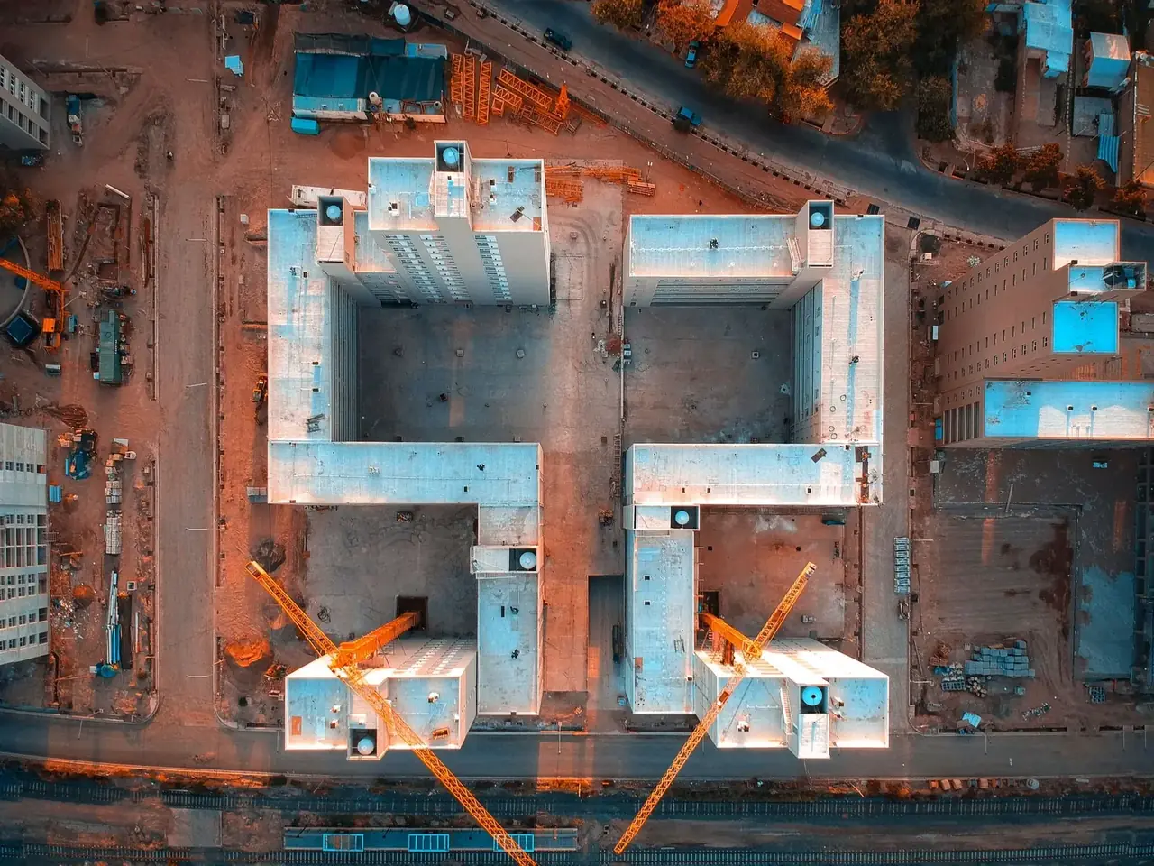
Vision Dynamics provides aerial drone services across South Africa. We work with agriculture, construction, mining, solar energy, forestry and conservation. Our services include crop spraying, multispectral analysis, thermal and damage inspections, 2D mapping, 3D modelling and aerial surveying.
Thermal2D & 3D MappingBuilding InspectionCrop SprayingCrop FertilisingAerial Video & PhotographyProgress MonitoringWildlife CountSearch & LocateFence InspectionDamage Inspection
Thermal2D & 3D MappingBuilding InspectionCrop SprayingCrop FertilisingAerial Video & PhotographyProgress MonitoringWildlife CountSearch & LocateFence InspectionDamage Inspection
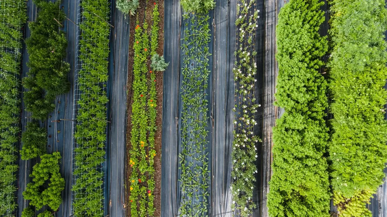
Agriculture & Horticulture
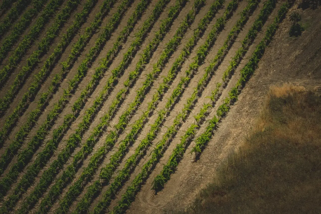
Spray crops, spread seed or fertiliser, and see where fields and orchards need a closer look. We work across row crops, fruit blocks, vineyards and grazing land.
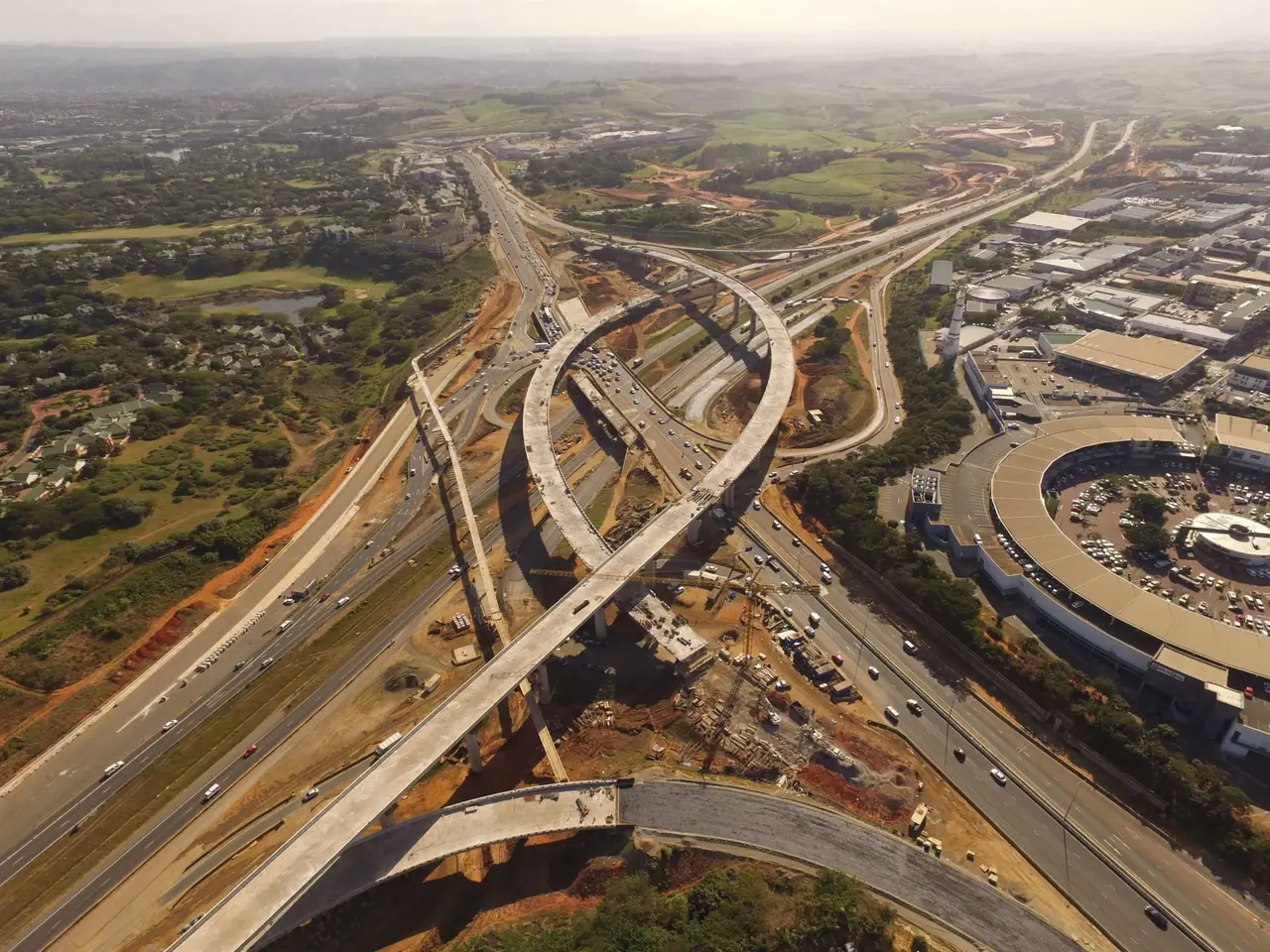
Construction & Transport Infrastructure
Track construction progress, measure exposed earthworks and stockpiles, and see hard-to-reach details on buildings, roads, bridges and rail assets.
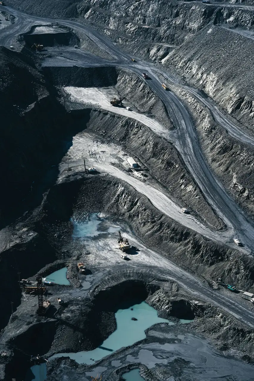
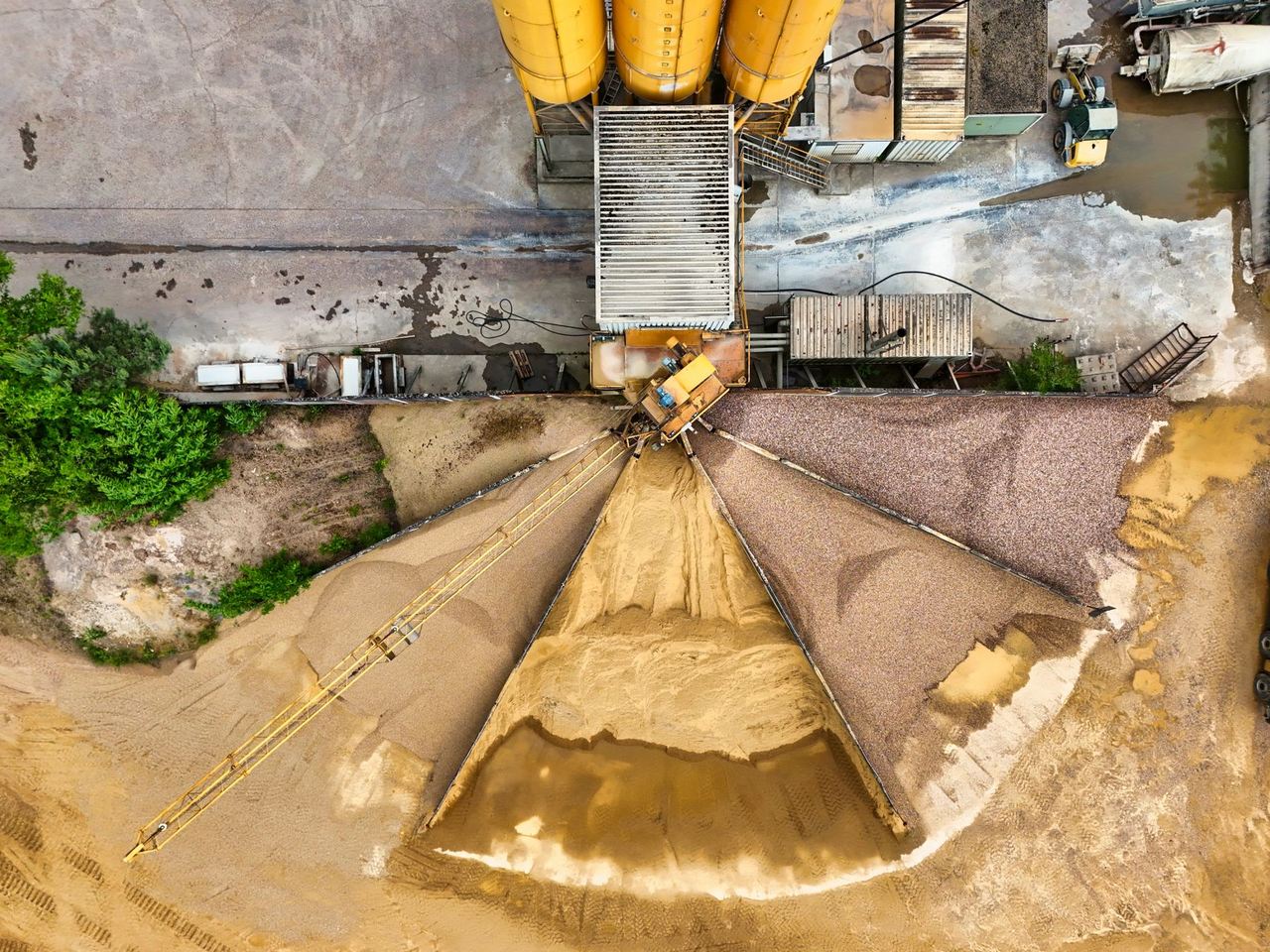
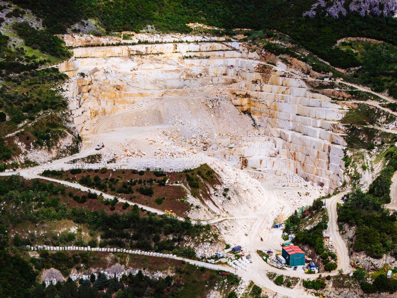
Mining, Quarries & Aggregates
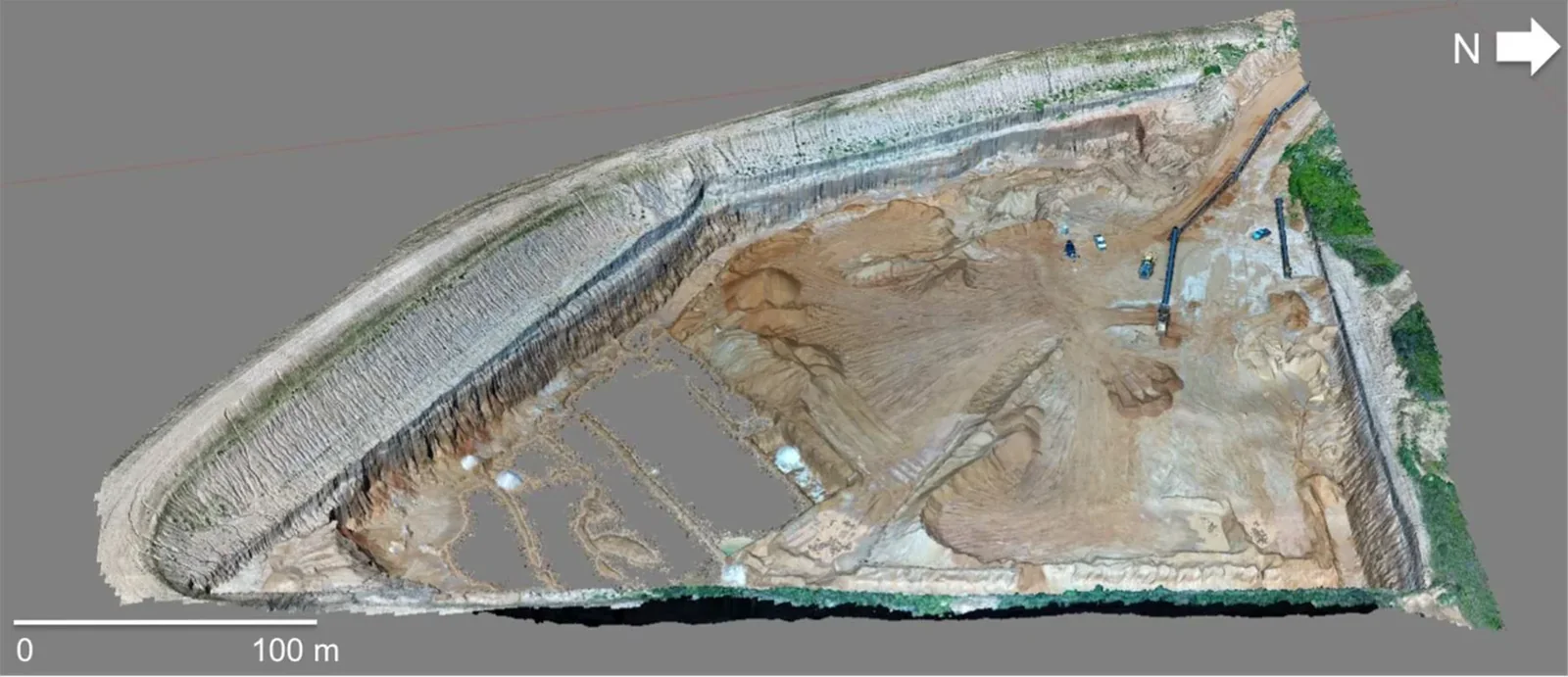
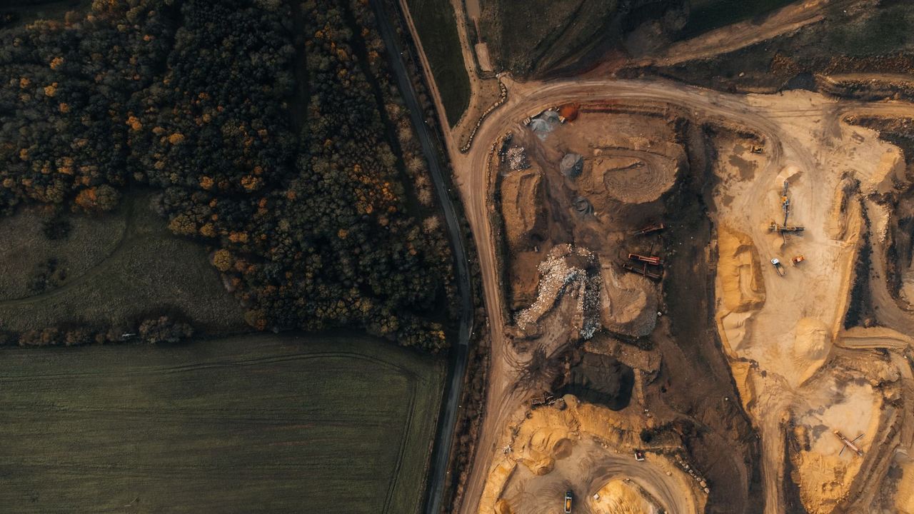
Measure visible material stockpiles, map pits and quarry faces, and track changes to haul roads, drainage and processing assets.
Solar, Wind & Power
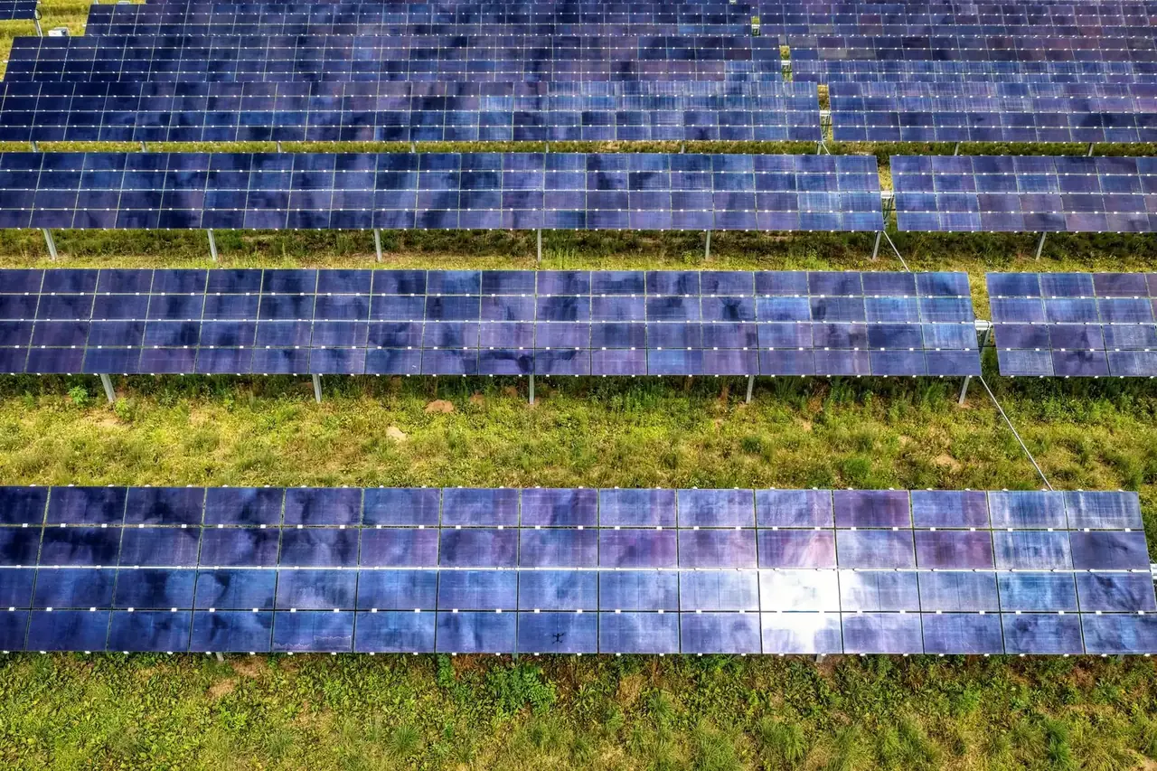
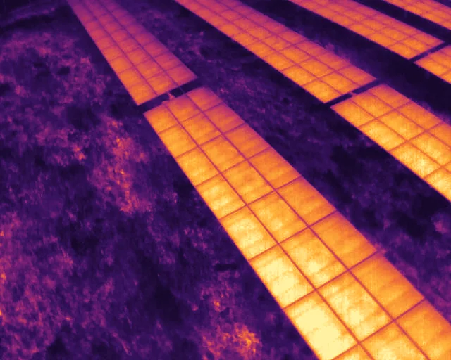
Locate unusual heat patterns on operating solar arrays, record visible turbine-blade condition, and inspect accessible power assets and their surrounding corridors.
Wildlife & Conservation
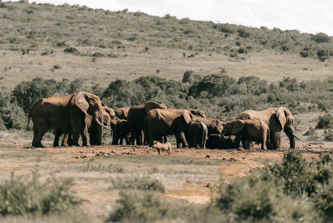
Support wildlife locating and visible counts, map habitat and reserve assets, and follow changes after fire or disturbance.
Property, Development & Hospitality
Inspect roofs and façades, document development sites from the air, and show the setting of homes, estates and lodges in aerial photography and video.
Municipal Assets & Public Works
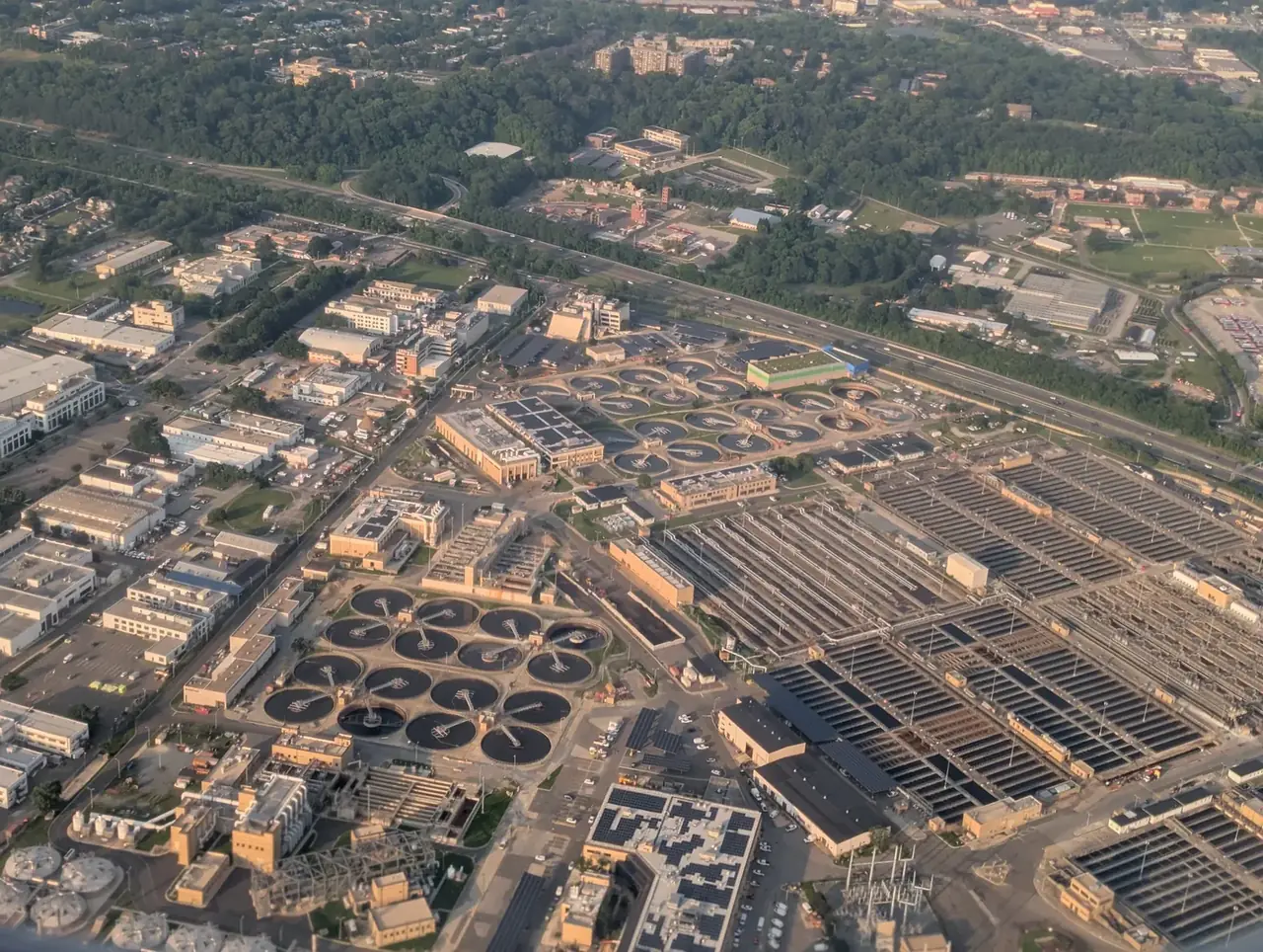
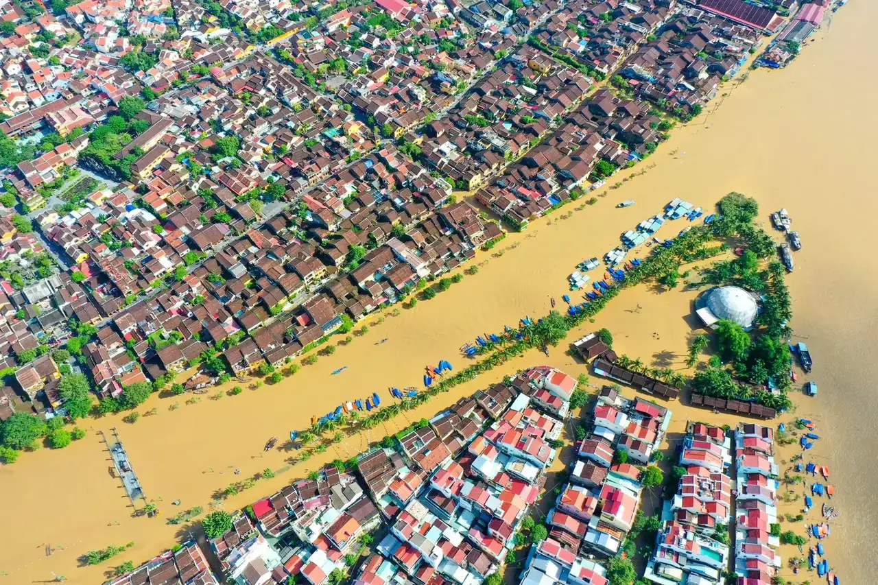
Keep aerial records of public assets, follow municipal works and identify visible maintenance needs after storms or routine inspections.
Forestry & Land Rehabilitation
Map forestry compartments, find visible establishment gaps and track ground cover or erosion on land being restored.
Water & Irrigation
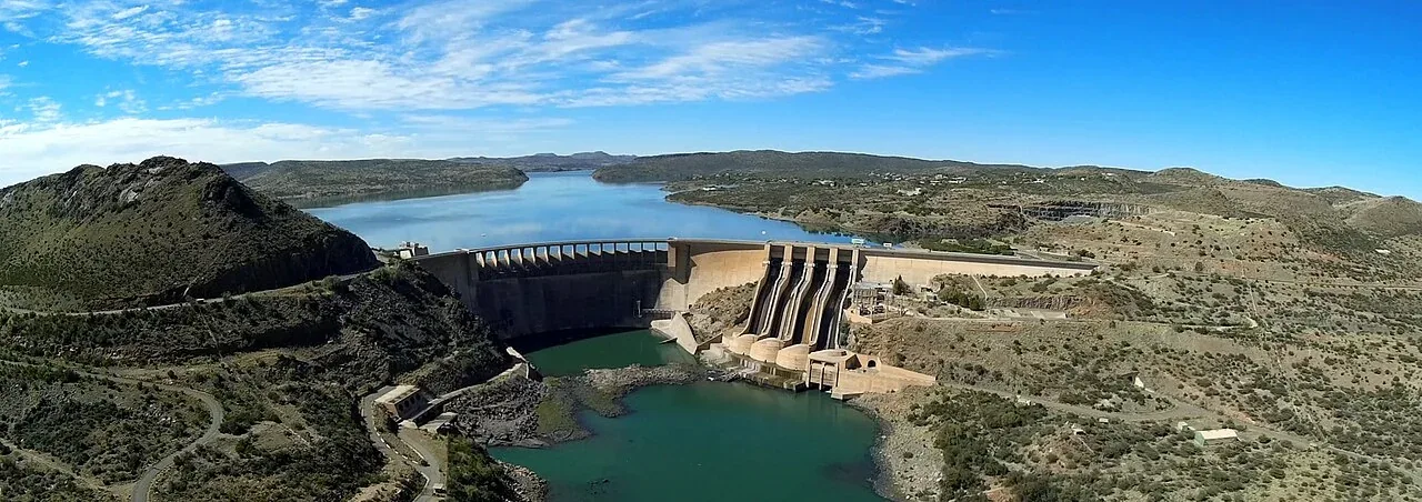
Record dam banks, channels and pump sites, and investigate uneven irrigation using visible and multispectral imagery.
Telecommunications
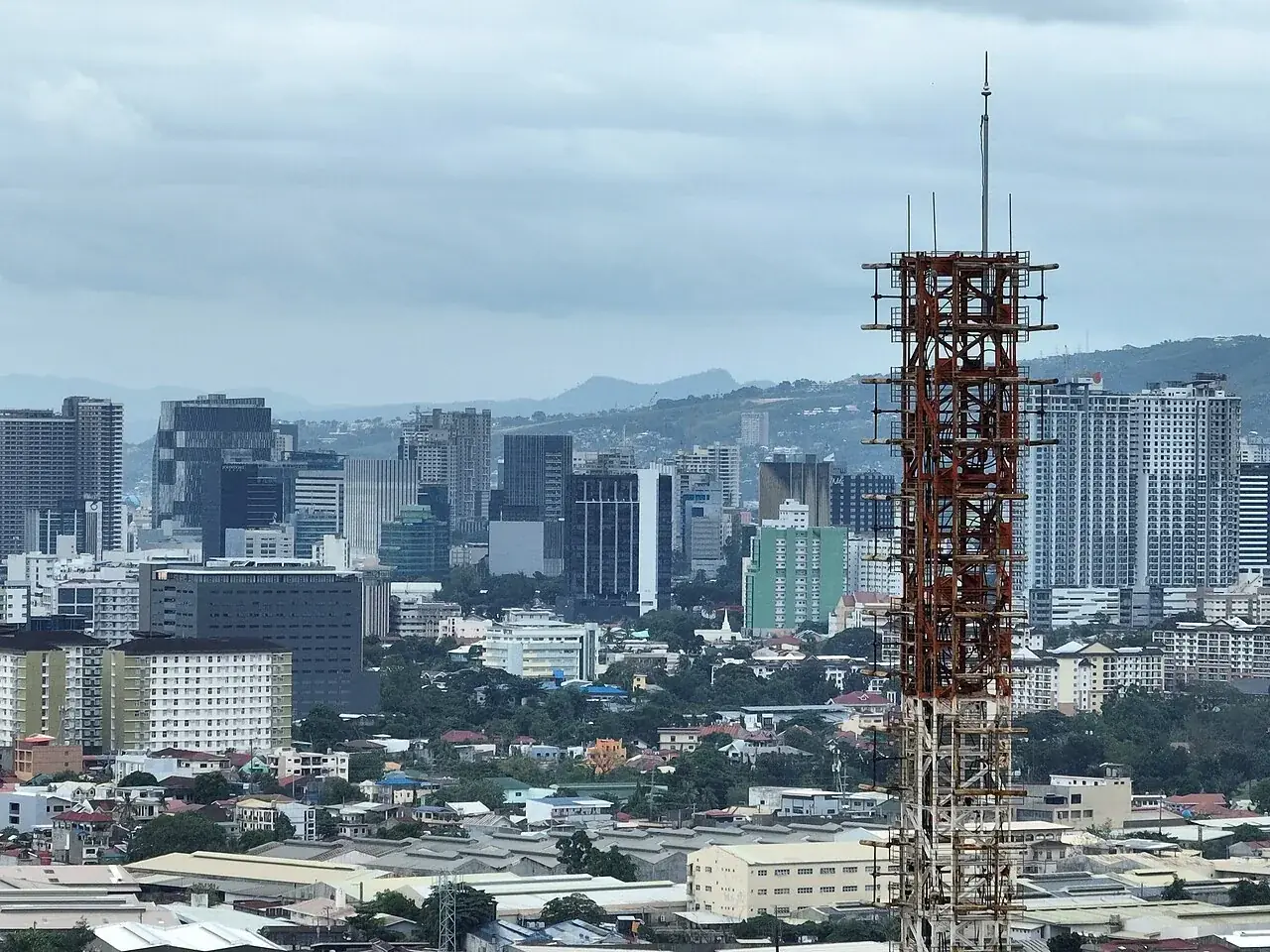
See tower, antenna and compound condition from the air, with dated records of installations and upgrades.
Security & Emergency Support
Support authorised perimeter checks, searches and incident assessments with visual and thermal views of a defined area.
Industrial Plants & Fuel Facilities
Inspect accessible plant exteriors, locate unusual heat patterns and keep a dated record of site changes through shutdowns and upgrades.
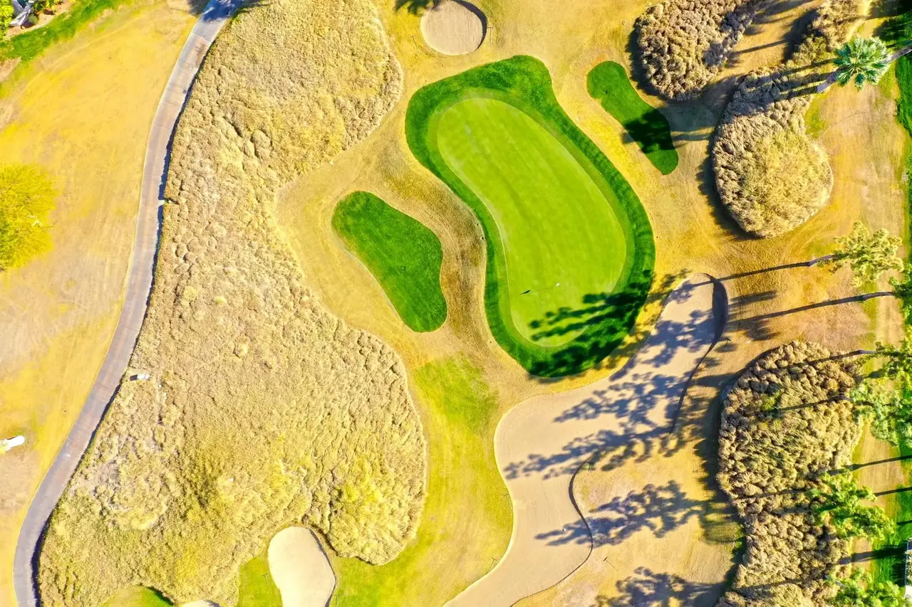
Golf, Turf & Managed Grounds
Find where turf is stressed or wearing, check irrigation patterns and compare how grounds recover after renovation.
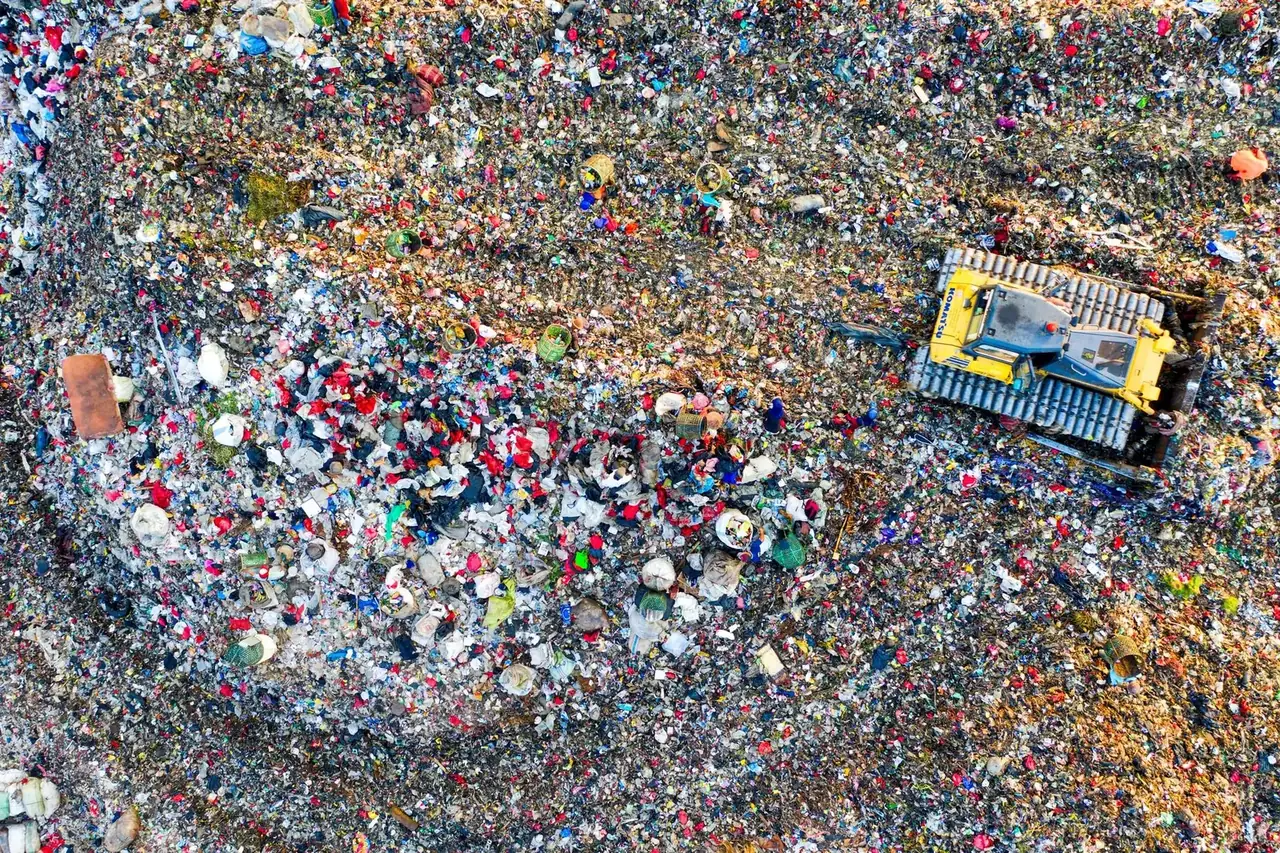
Waste, Recycling & Landfills
Map landfill and recycling-yard surfaces, measure visible material stockpiles, and track cover, drainage and unusual surface heat.
More industries
Explore the land, assets and operations connected by our aerial work.
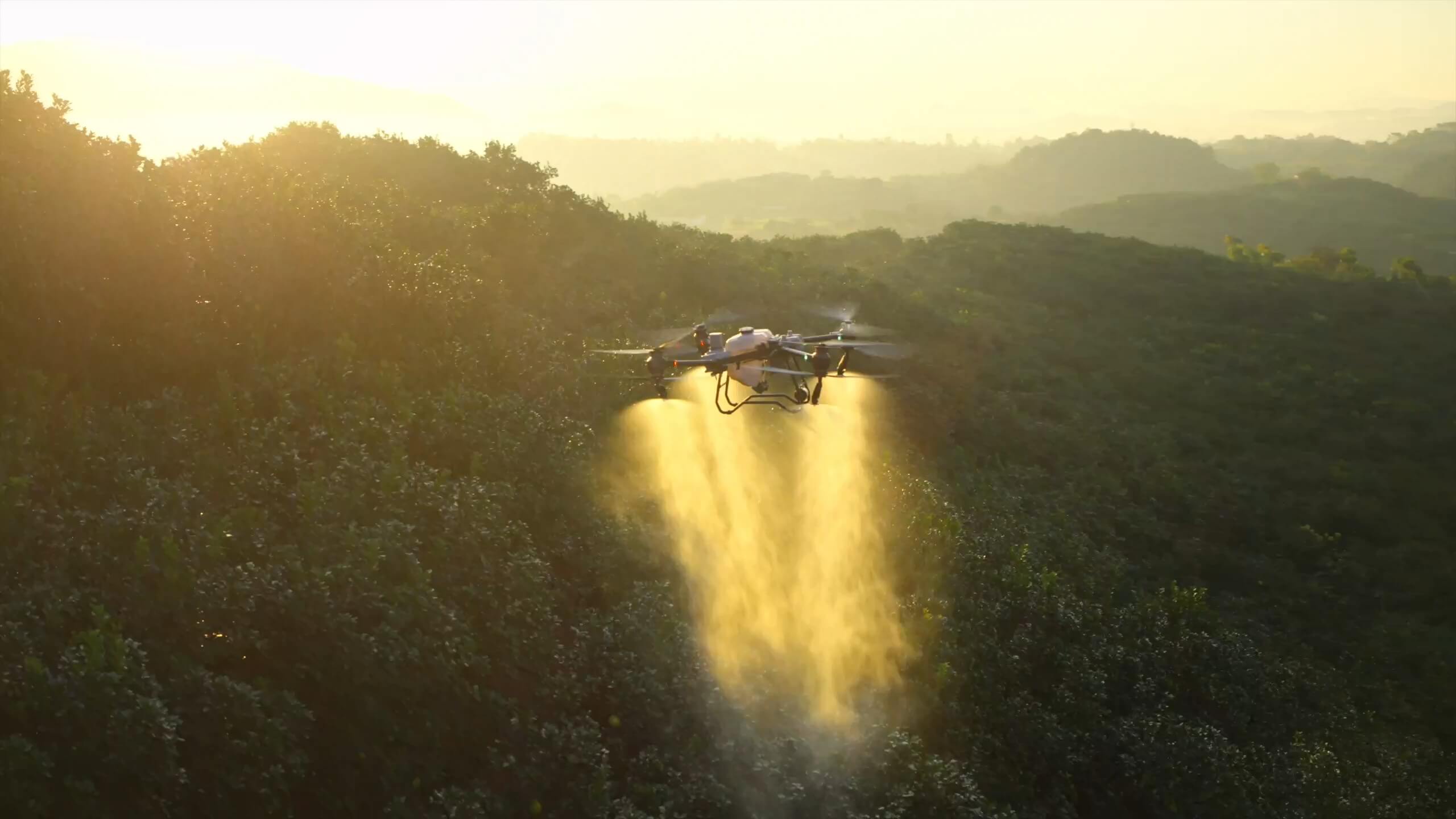
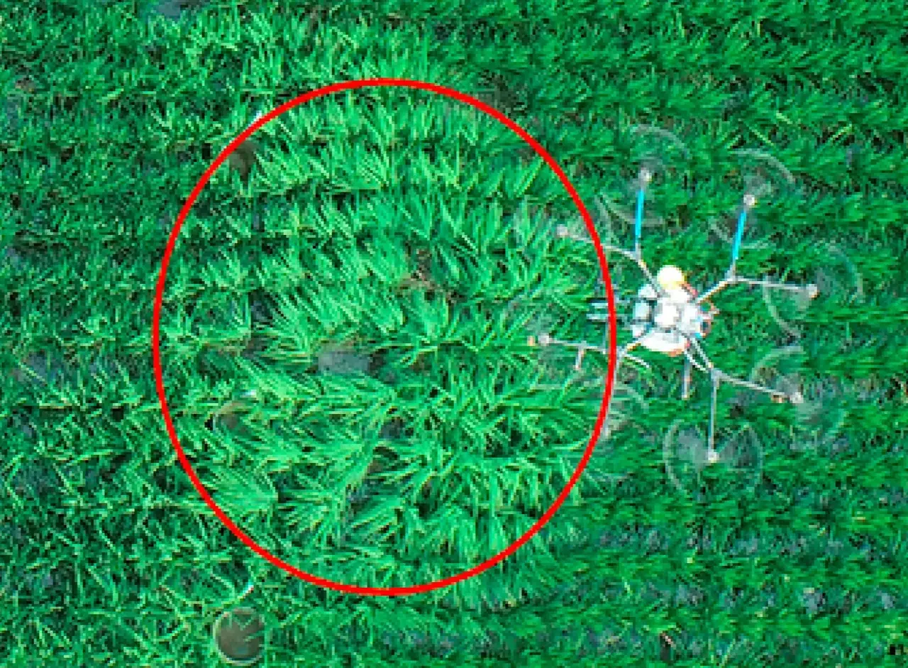
Drone spraying applies liquid crop protection and foliar treatments across fields, orchards, vineyards and pasture. The Agras T50 covers whole blocks or selected patches, including wet or steep ground that is hard to reach with machinery. The customer supplies the approved spray product.
Crop Protection
Foliar Treatments
Orchard Blocks
Vineyard Sections
Defined Vegetation Areas
Application Records
Thermal Inspection
Thermal inspection locates unusual surface heating on operating solar panels, exposed equipment and building exteriors. Each thermal view is paired with a visible photo, so maintenance teams can find the affected module, fitting or roof section and compare it with nearby components.
Operating Solar Arrays
Exposed Electrical Equipment
Industrial Equipment
Building Surfaces
Irrigation Investigation
Thermal Reinspection
2D Mapping & 3D Modelling
A 2D aerial map brings roads, drainage, buildings and work areas into one overhead view. A 3D model shows the shape and elevation of exposed ground and structures. Dated maps and models let project teams see how a work area has changed.
2D Site Maps
3D Site Models
Surface Levels and Contours
Access and Drainage
Design and GIS Overlays
Repeat Maps and Models
Multispectral Mapping
Multispectral maps show where plant growth or cover varies across a site, from weak crop rows to bare patches on restored mine slopes and dense vegetation around solar arrays. A natural-colour aerial map ties those patterns to rows, tracks and landmarks for checks on the ground.
Crop Growth and Emergence
Canopy Development
Pasture and Turf Cover
Irrigation Patterns
Vegetation Establishment
Changes Between Surveys
Stockpile Volume Measurement
Stockpile surveys measure the exposed surfaces of piles at mines, quarries and material yards. A yard map identifies each pile and its measured volume in cubic metres. A later survey shows which piles grew or were drawn down since the previous visit.
Volume in Cubic Metres
Pile Identification
Stockpile Location Maps
Mixed Yard Inventories
Changes Between Visits
Records for Stock Reviews
Earthworks & Cut and Fill
Surface models show where ground has been excavated or filled across a road section, work platform or quarry bench. A comparison with an earlier survey measures the change. Comparing the same ground with supplied design levels shows where it is still high or low.
Pre-Work Surface
Site Levels and Slopes
Excavation and Placement Volumes
Comparison with Design Levels
Change Between Survey Dates
Quantities by Work Area
Aerial Counts & Asset Inventories
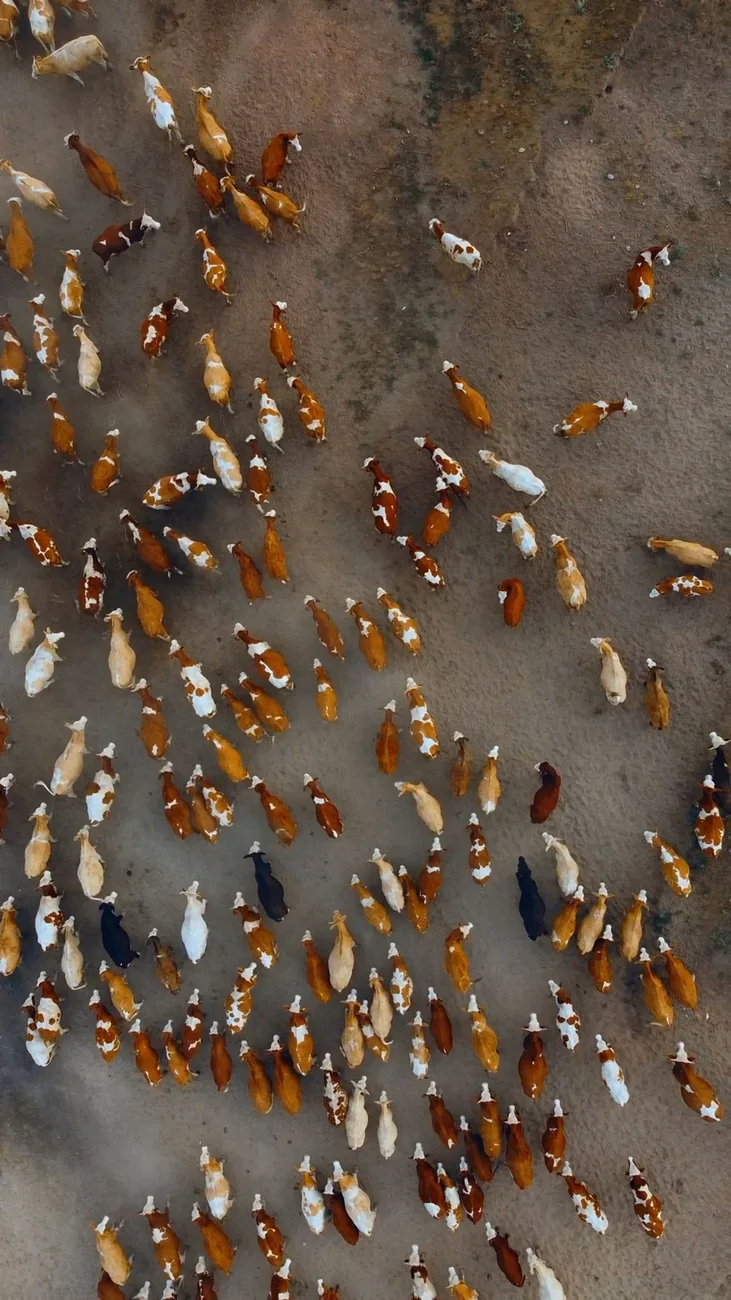
Aerial counts record visible animals, trees or equipment by paddock, row, site zone or asset reference. Mapped locations help a reserve team revisit an observation, a grower find planting gaps or a site team check visible assets against its register.
Asset Registers
Farm and Property Features
Tree and Stand Counts
Livestock and Wildlife Observations
Locations by Zone
Repeat Counts and Registers
Infrastructure Inspection
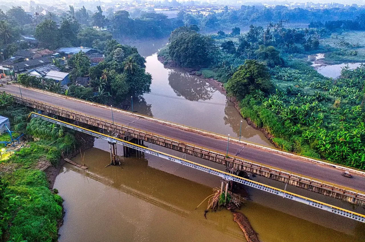
Aerial inspection records the visible condition of bridges, roads, drainage, towers and fencing. Angled views show exposed components and overhead views connect them to the route. Reports can locate damaged fittings, erosion and obstructions by asset, crossing or stretch of road.
Bridges and Civil Structures
Drains, Culverts and Outfalls
Towers and Poles
Wind Turbine Exteriors
Fences and Gates
Repeat Asset Inspections
Building & Roof Inspection
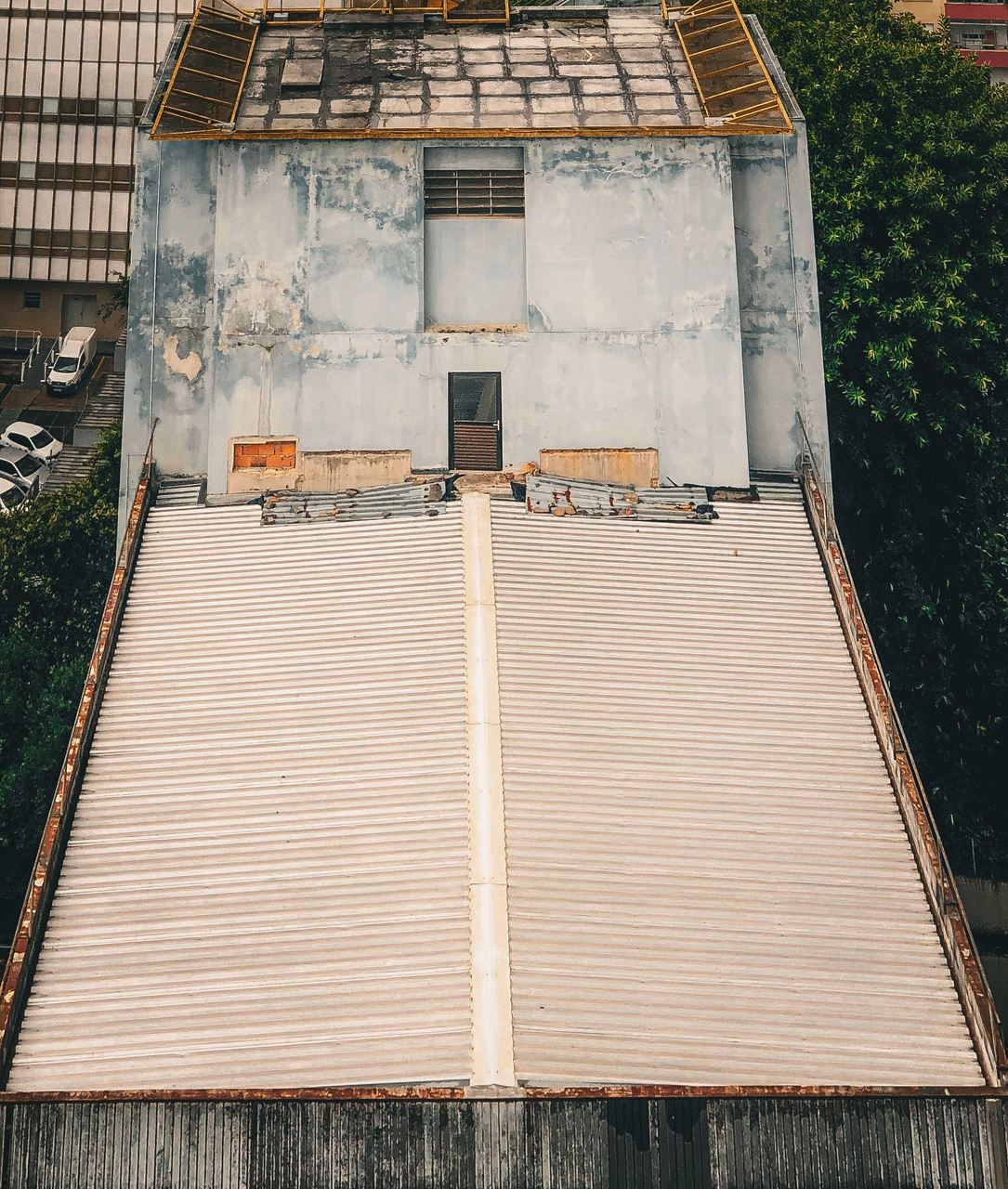
Roof and building inspections record visible rust, holes, loose sheets, damaged cladding, blocked gutters and broken fittings. Close views show the condition in detail, while wider images identify the roof section or elevation. Maintenance teams can compare those same areas again after repairs.
Roof Coverings
Gutters and Outlets
Cladding and Façades
Flashings and Rooftop Fittings
Rust and Visible Damage
Comparisons After Repairs
Aerial Photography & Video
Aerial photography and video show how a place fits together. Follow the approach to a lodge, see a development in relation to surrounding roads, or show the scale of an operating site. Stills and planned video sequences support listings, project updates and films.
Property Photography
Lodges and Destinations
Construction and Development Imagery
Industrial and Agricultural Operations
Landscape and Conservation Footage
Aerial Footage for Productions
Industrial Asset Inspection
Close aerial photographs show corrosion, damaged coatings and broken fittings on tanks, silos, stacks and exposed conveyors. Each detail is tied to its asset, making it easier to locate a worn transfer point, tank seam or exterior fitting during a maintenance shutdown.
Tanks and Silos
Stacks and Elevated Structures
Conveyors and Processing Structures
Exposed Pipework and Fittings
Corrosion and Coating Damage
Shutdown and Repair Comparisons
Aerial Surveying
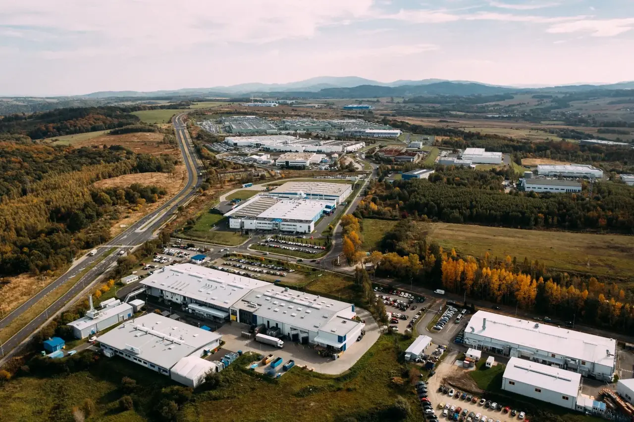
Overlapping drone photographs record exposed ground, work areas and corridors before or during a project. The imagery can be aligned to the project’s coordinates and checked against surveyed points, providing a consistent starting dataset for maps, surface models and repeat measurement.
Site Baselines
Exposed Surfaces
Coordinate Reference
Position Checks
Repeat Aerial Surveys
Survey-Team Capture
Progress & Condition Monitoring
Repeat aerial views give construction, maintenance and land teams a dated record of change. Matched viewpoints show which work fronts advanced, how access shifted, or what a roof, plant component or restored slope looks like after work.
Work Fronts and Milestones
Earthworks and Site Activity
Maintenance Follow-Up
Condition History
Establishment and Recovery
Consistent Comparison Views
Aerial Search Support
Aerial search support uses visible and thermal imagery to help ground teams check assigned areas for missing people, livestock or wildlife. Possible sightings can be shared with their locations and nearby landmarks. A coverage record shows which sectors were checked from the air.
Missing Person Searches
Livestock and Wildlife
Visual Scanning
Thermal Sightings
Search Coverage
Locations for Follow-Up
Aerial Site & Perimeter Observation
Aerial observation gives site and reserve teams a current view of selected boundaries, gates, tracks and operating areas. Images can locate a fence break, blocked approach or other visible condition and reference it to the nearest landmark for follow-up.
Fence Lines and Gates
Roads and Approaches
Targeted Area Checks
Yards and Operating Areas
Conservation Patrol Support
Location and Image Handover
Drone Seeding
Drone seeding broadcasts compatible seed over pasture, cover-crop areas, turf and disturbed ground. The Agras T50 can cover whole blocks or selected patches, including embankments and slopes with limited ground access. Follow-up mapping can show where cover has taken hold.
Pasture Overseeding
Cover Crops
Disturbed Ground and Slopes
Small or Hard-to-Reach Areas
Seed Coverage by Block
Establishment Checks
Drone Fertiliser Spreading
Drone fertiliser spreading applies dry granules across crop fields, grazing camps, forestry blocks and restored ground. The Agras T50 can cover an entire block or treat selected areas, including slopes and corners a tractor spreader has difficulty reaching. Coverage is recorded against the treatment area.
Field Fertiliser Application
Pasture Nutrition
Forestry Blocks
Turf and Other Managed Ground
Treatment Zones
Application Records
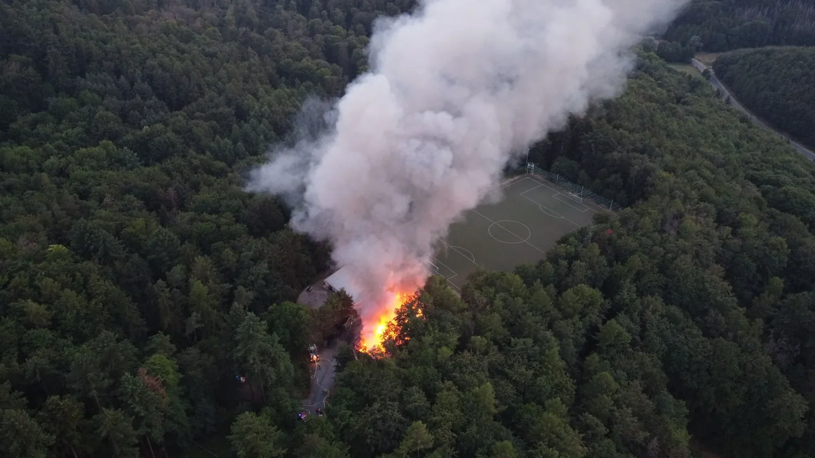
Fire & Incident Observation
Aerial imagery shows how affected ground, roads and visible obstacles sit in relation to a fire, flood or other incident. Thermal views help locate apparent hot spots. Dated return visits can show where water receded, access changed or residual heat remains visible.
Affected Areas
Access and Obstacles
Hotspot Locations
Post-Fire Checks
Mapped Views
Changes Between Visits
More services
We connect aerial capability with practical work on the ground, from measurement and land application to monitoring and authorised observation.
Vision Dynamics provides aerial survey, inspection and agricultural application across South Africa. Our surveys help project teams measure earthworks and stockpiles. Visual and thermal inspections locate issues on hard-to-reach assets, and drone application covers selected fields, orchard blocks and restoration areas. The imagery, measurements and application records are tied to the places each team works with on site.
ROC / UASOC partnerDC Geomatics
Partner air service licenceG1240D
Commercial flights operate through our partnership with DC Geomatics. Aerial spraying is an application service using approved products supplied by the customer.
Our pilot plans each flight around what the team on the ground needs to see. On construction jobs we return to the same viewpoints so site teams can compare progress. On farms we work from the agreed treatment blocks and record where we flew.
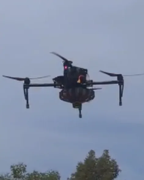
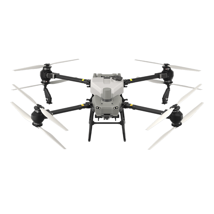
We use our Agras T50 for liquid application and to spread suitable seed or dry fertiliser. We can treat mapped blocks or individual patches, including sections where getting a ground rig onto the crop is difficult. The customer supplies the approved spray product.
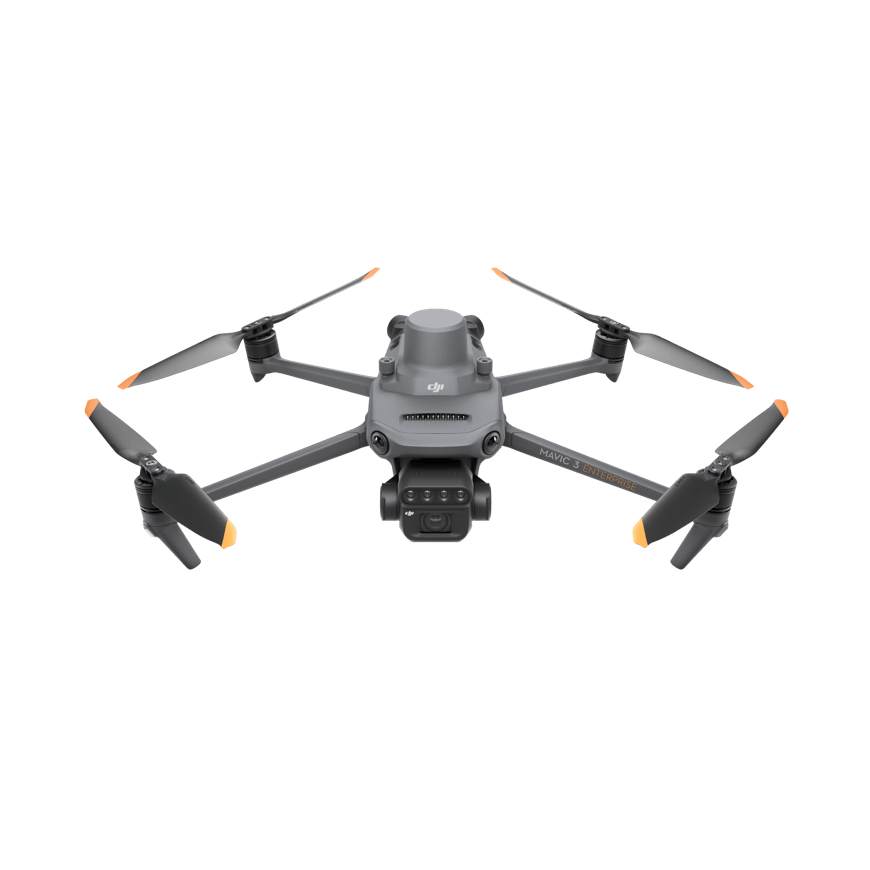
Our Mavic 3 Multispectral does two jobs. We use its colour camera to build 2D maps and 3D surface models, from a farm’s drainage layout to the changing footprint of a work site. We use its multispectral camera to see where crops or vegetation are growing unevenly.
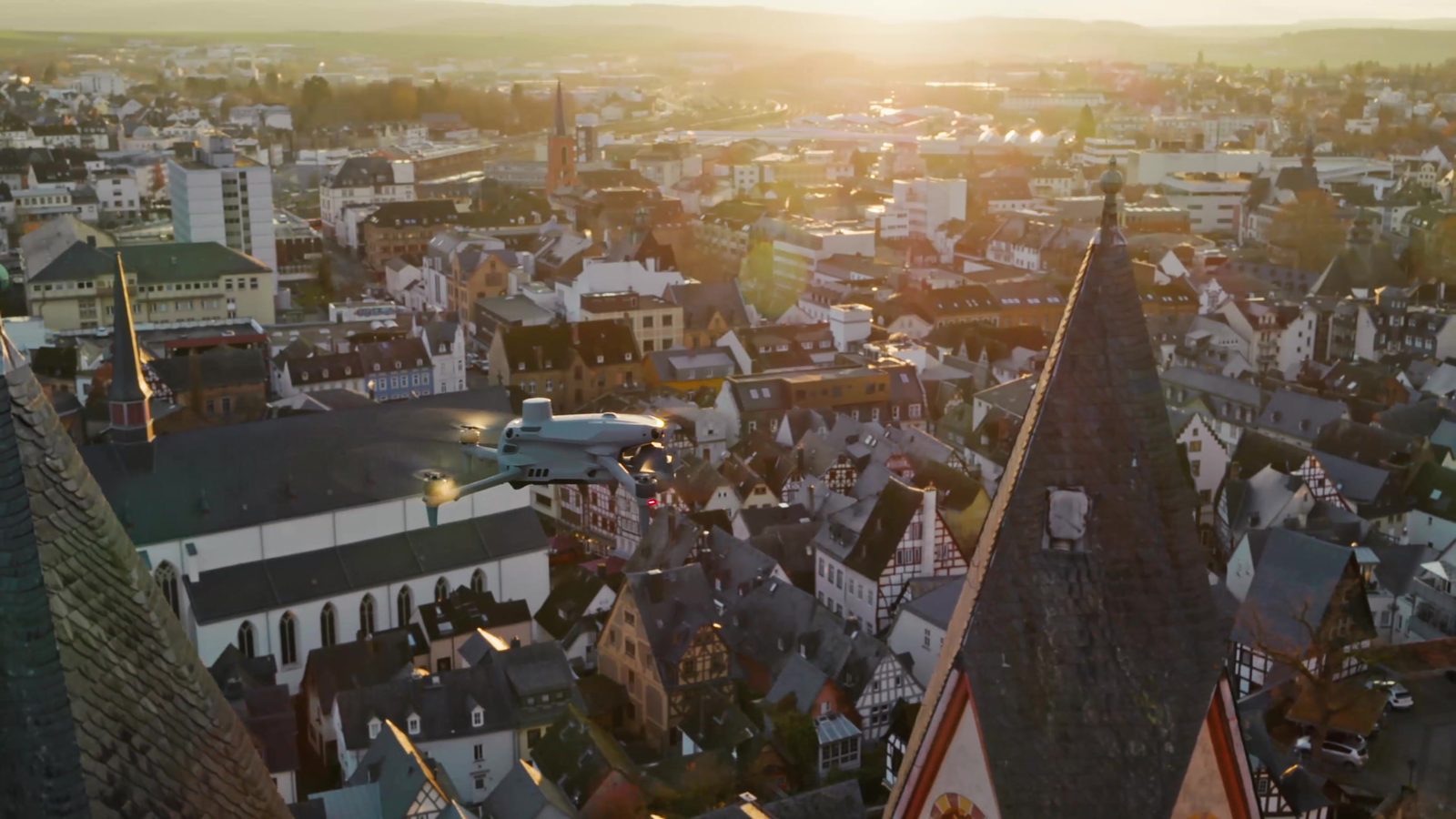
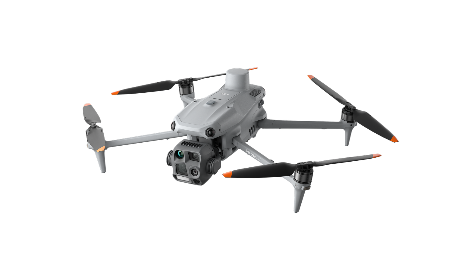
With our Matrice 4T we can pair a thermal image of a hotter solar module with a colour photograph showing its location. We also use its zoom camera to check fittings high on structures and its thermal camera to support searches in open ground.