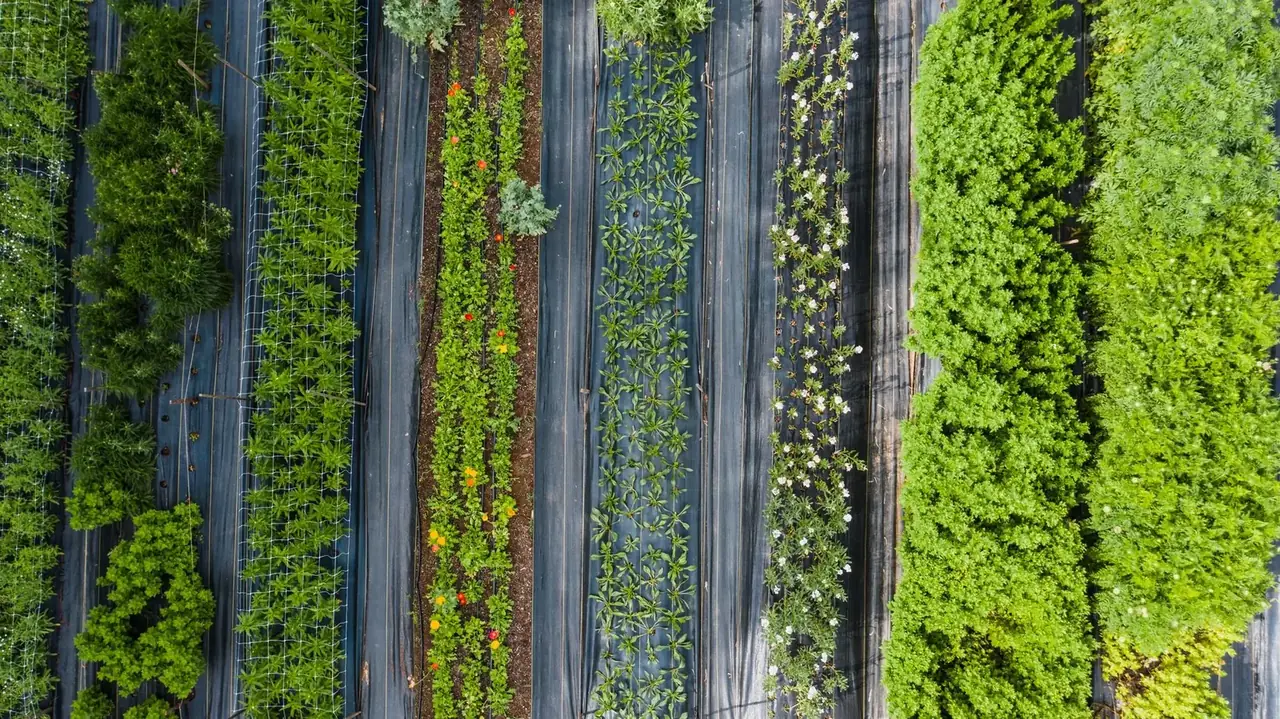
Field crops
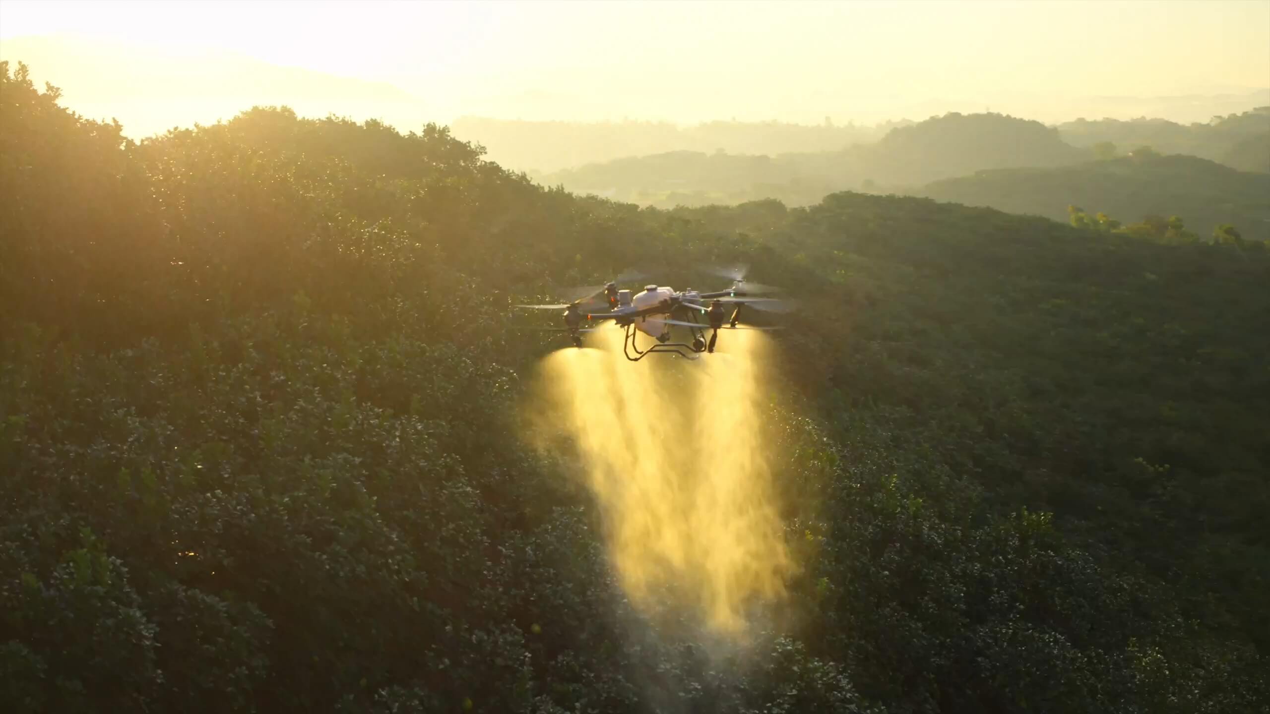
Treat agreed blocks and map the patches you want to check.
Tell us which fields you need covered and when. We can assess full-block spraying, targeted work or farm mapping. A crop-health map can show where uneven growth starts and ends so your team can walk the right rows.
Orchards & vineyards
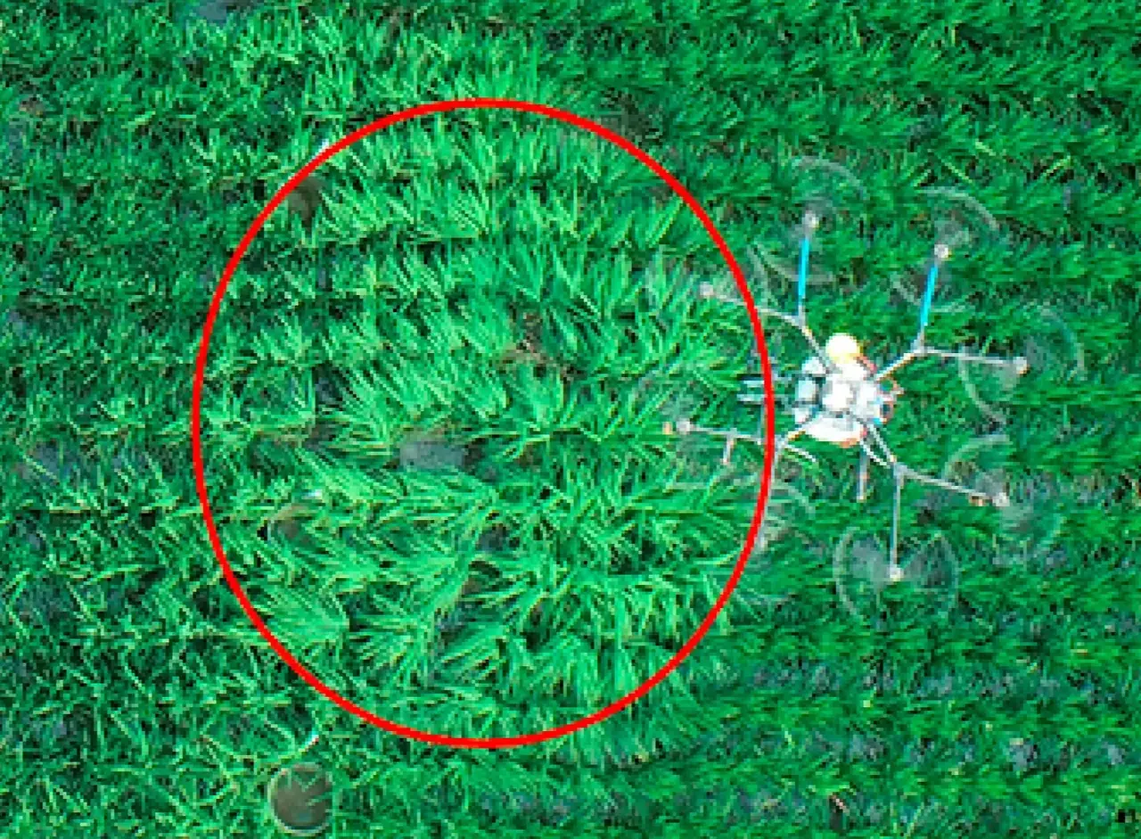
See row gaps, access routes and areas that need a closer look.
A dated aerial map can help you find planting gaps and plan work by row or block. Application in orchards or vineyards depends on the crop, product, structure and operating conditions.
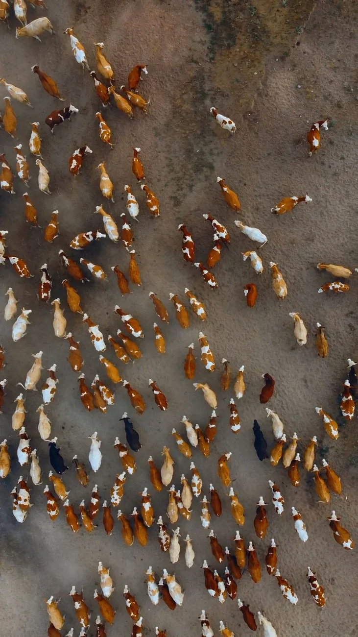
Grazing & livestock
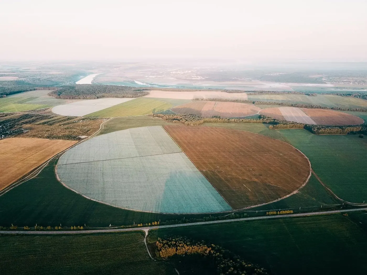
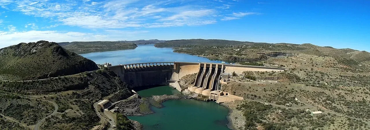
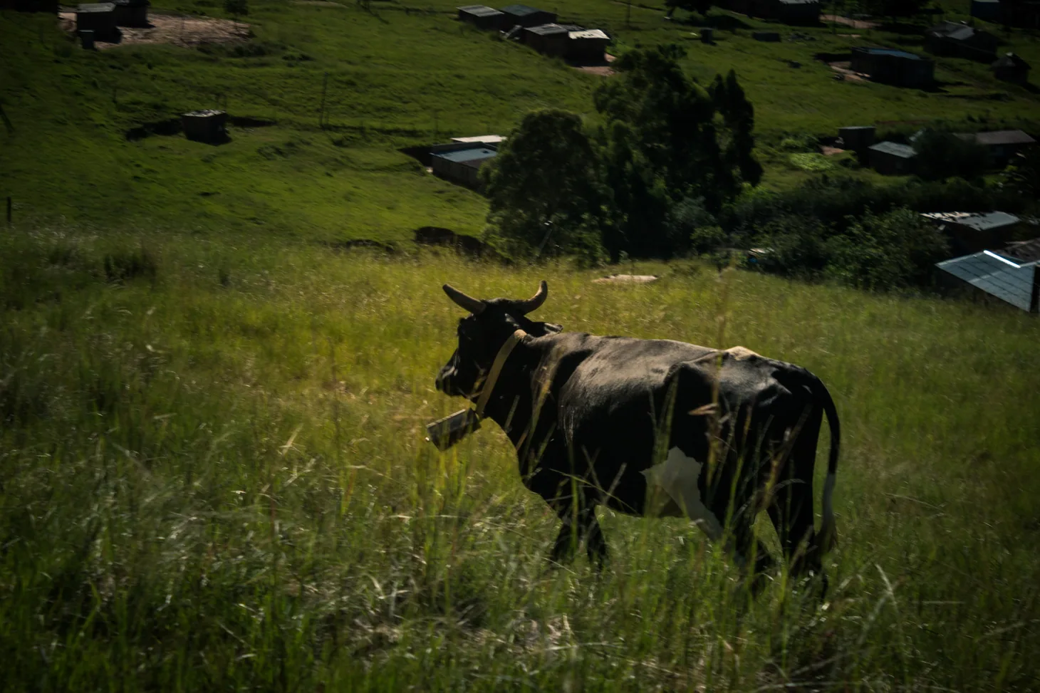
Check cover, camp access, fences and water points.
Use overhead imagery to record agreed areas and visible farm assets. We can also scope a targeted livestock or game check where the terrain, area and timing support it.