Industries & services.
Land & agriculture
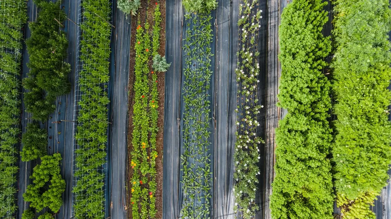
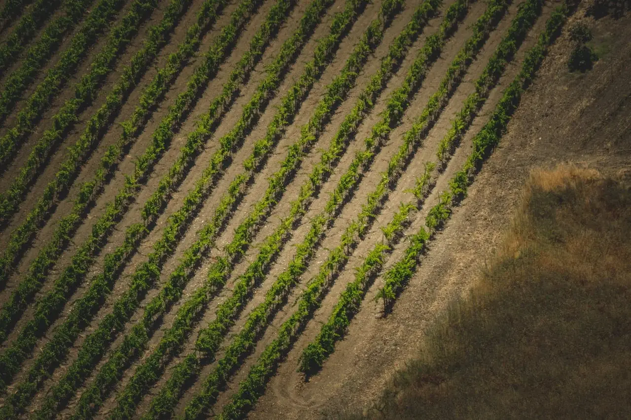
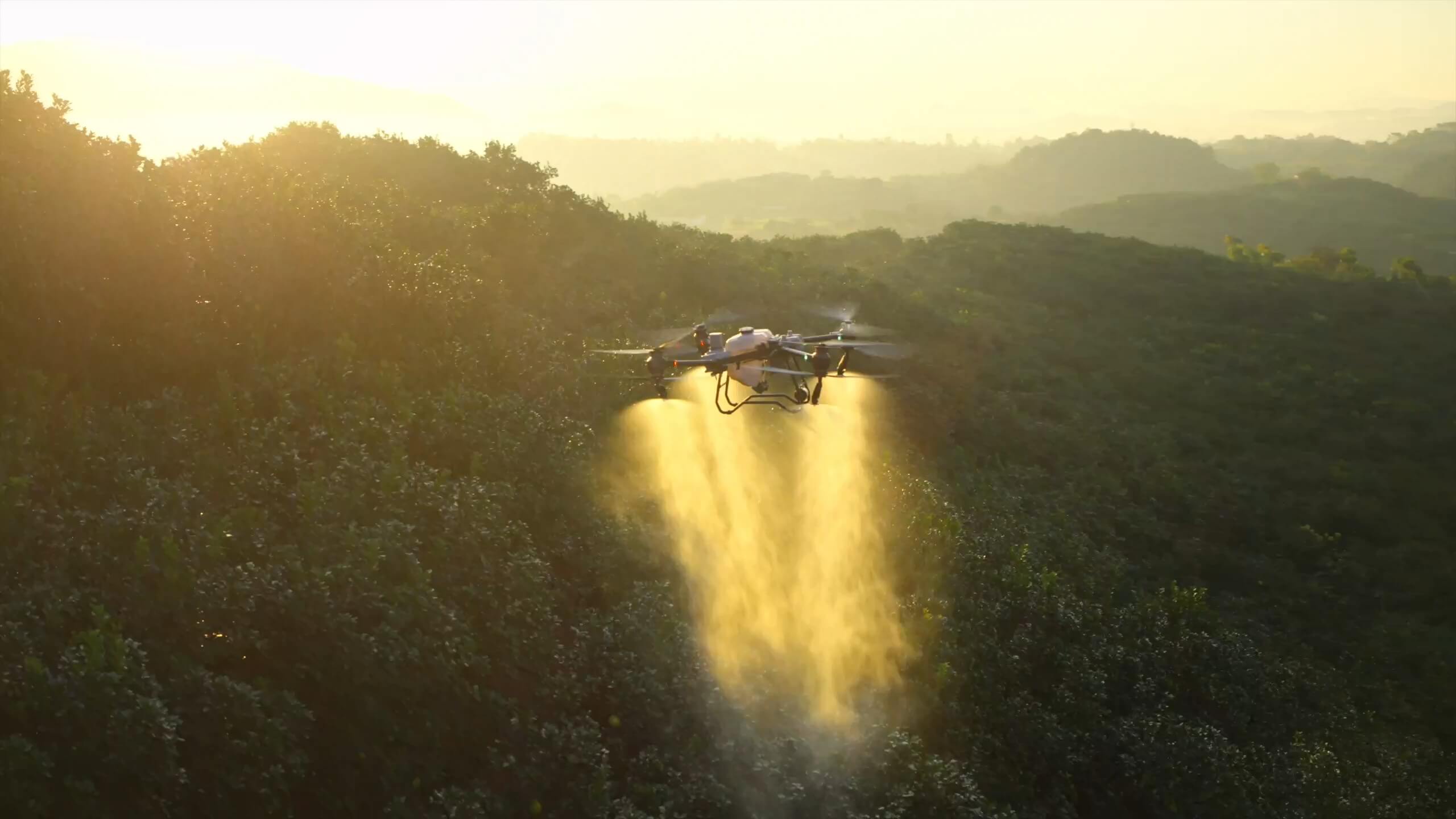
Agriculture & Horticulture+
Agriculture & Horticulture↗
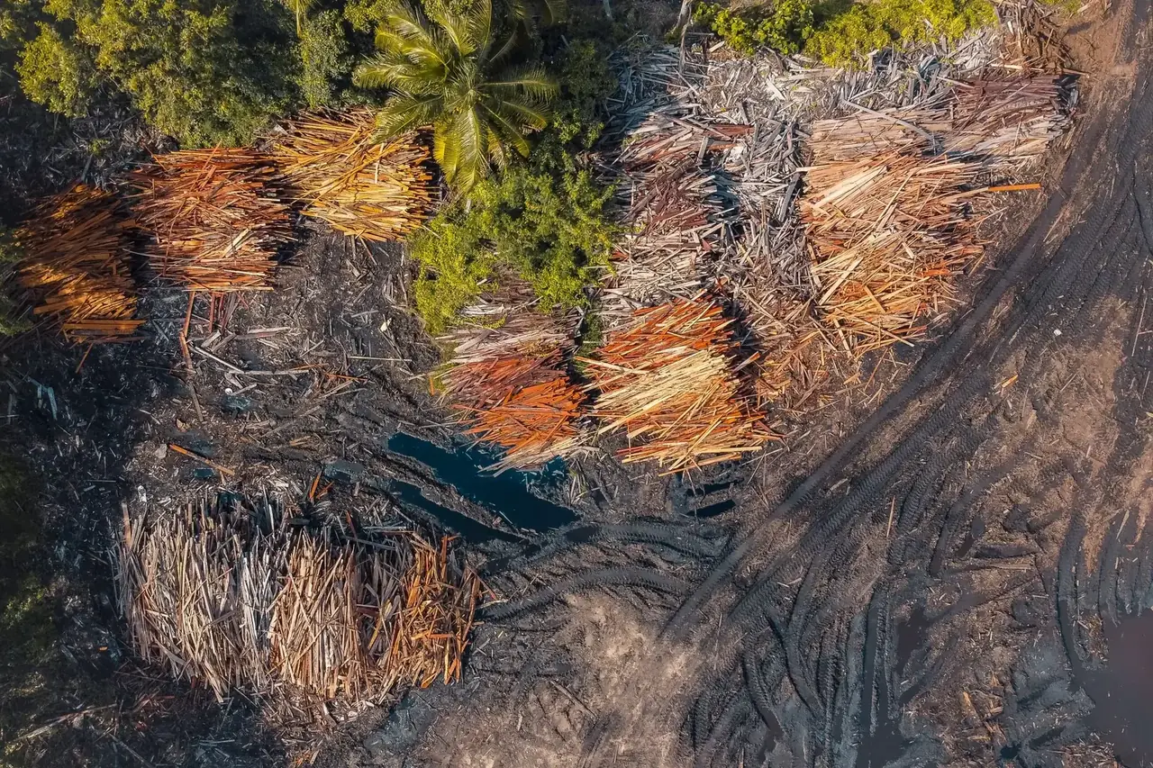
Forestry & Land Rehabilitation+
Forestry & Land Rehabilitation↗
Water & Irrigation+
Water & Irrigation↗
Built environment
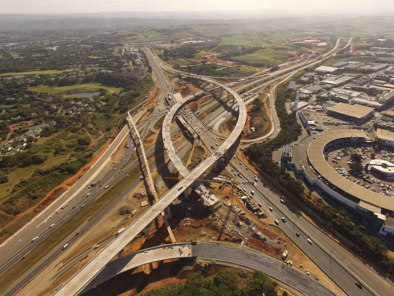
Construction & Transport Infrastructure+
Construction & Transport Infrastructure↗
Property, Development & Hospitality+
Property, Development & Hospitality↗
Telecommunications+
Telecommunications↗
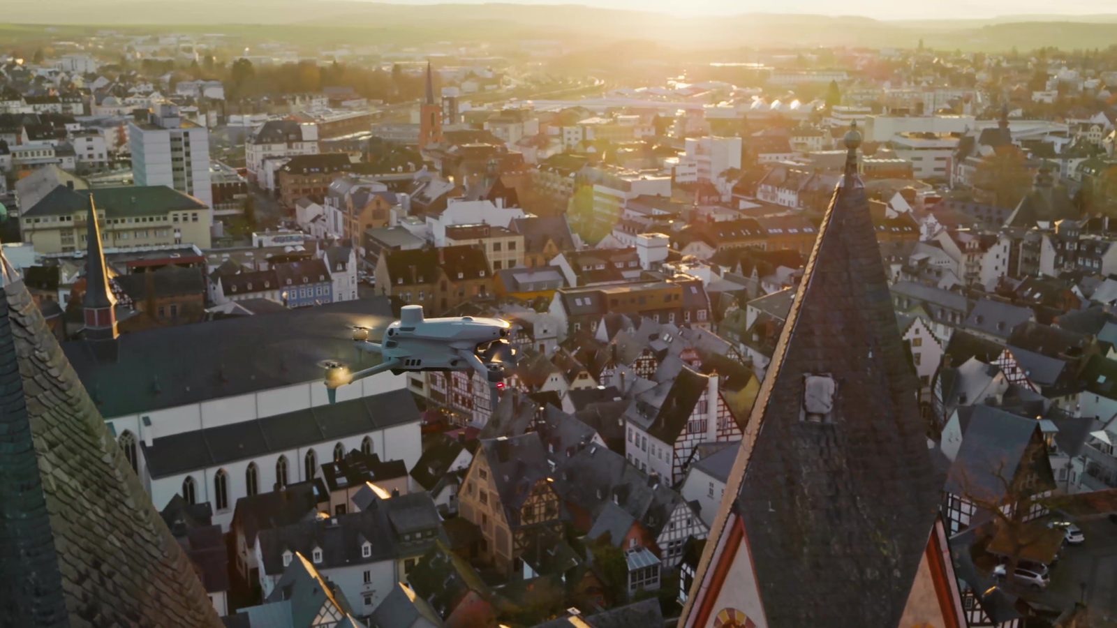
Municipal Assets & Public Works+
Municipal Assets & Public Works↗
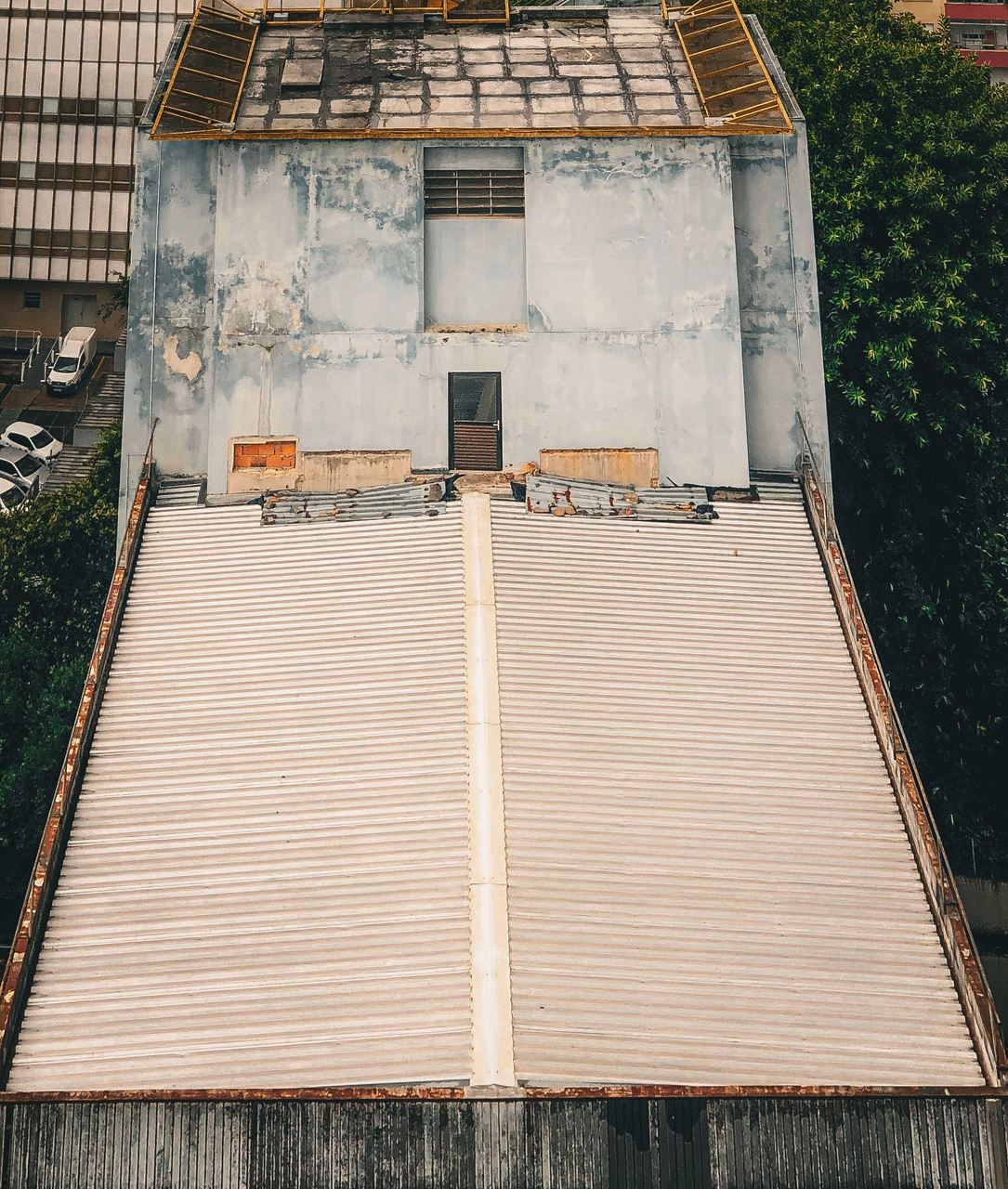
- Building & Roof Inspection
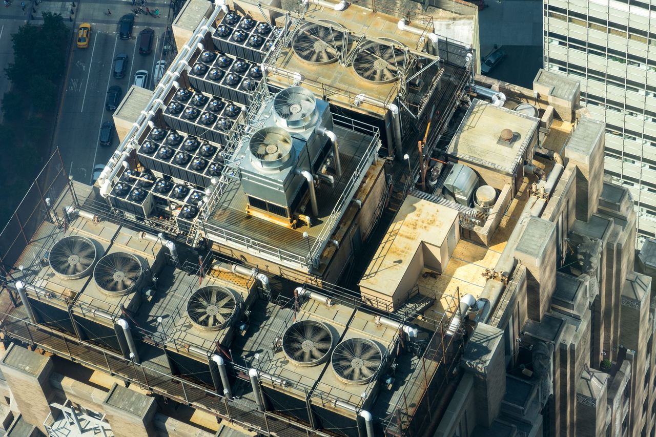
- Industrial Asset Inspection
- Infrastructure Inspection
- Thermal Inspection
- Aerial Surveying
- 2D Mapping & 3D Modelling
- Multispectral Mapping
- Drone Seeding
- Drone Fertiliser Spreading
- Progress & Condition Monitoring
- Aerial Counts & Asset Inventories
- Fire & Incident Observation
- Aerial Photography & Video
Industry & energy
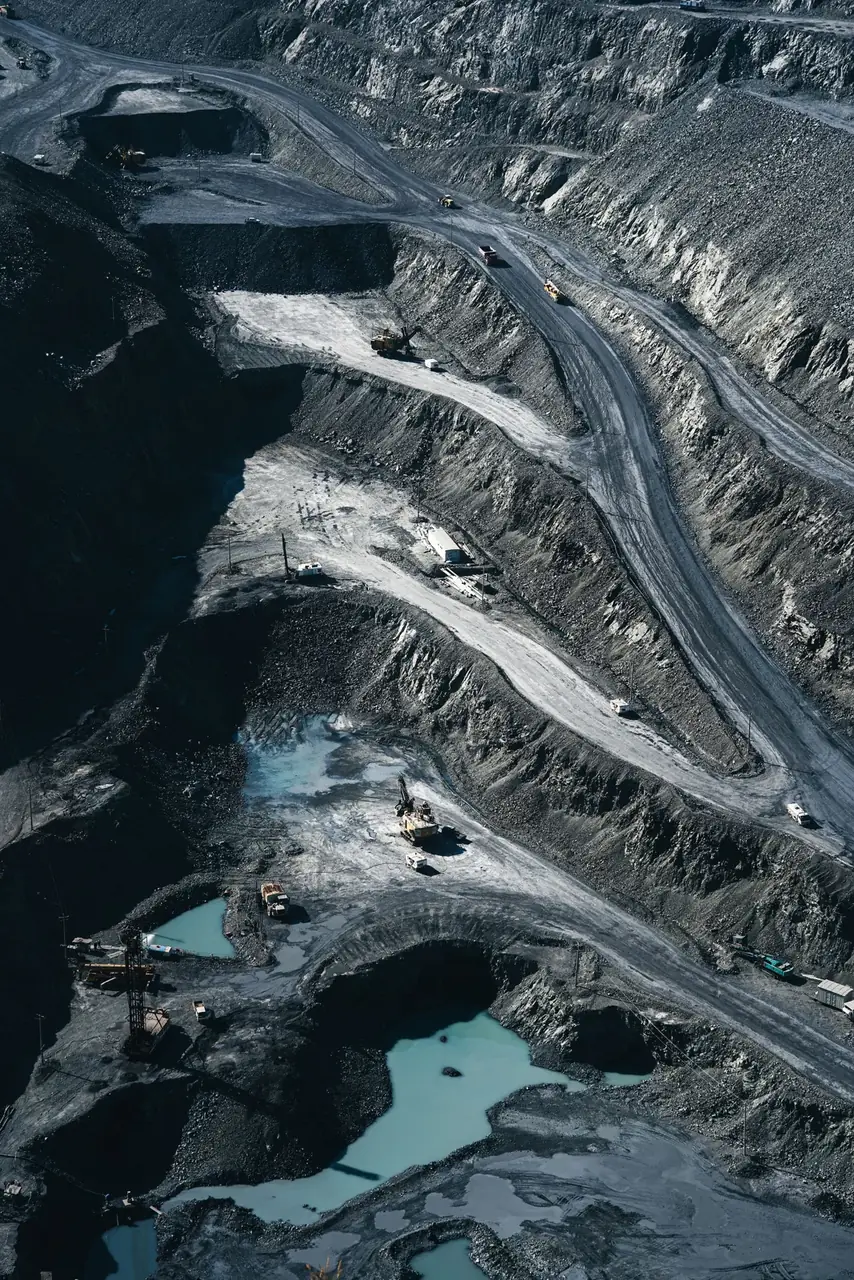
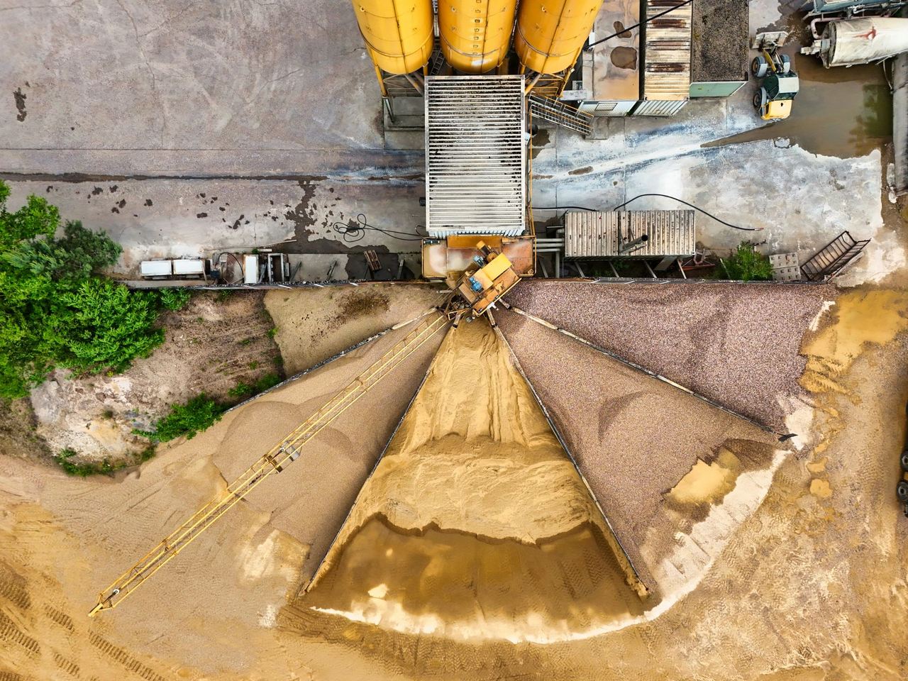
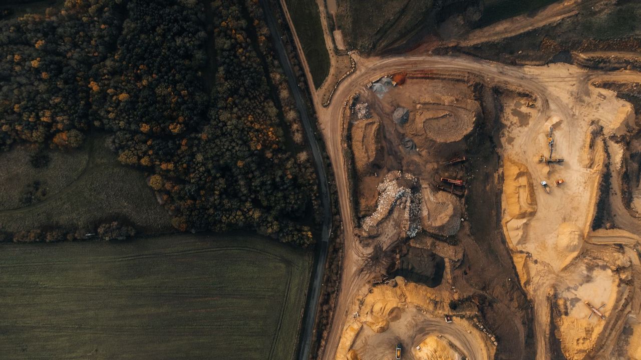
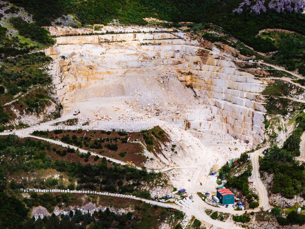
Mining, Quarries & Aggregates+
Mining, Quarries & Aggregates↗
- Industrial Asset Inspection
- Infrastructure Inspection
- Thermal Inspection
- Aerial Surveying
- 2D Mapping & 3D Modelling
- Stockpile Volume Measurement
- Earthworks & Cut and Fill
- Multispectral Mapping
- Drone Seeding
- Drone Fertiliser Spreading
- Progress & Condition Monitoring
- Aerial Counts & Asset Inventories
- Aerial Photography & Video
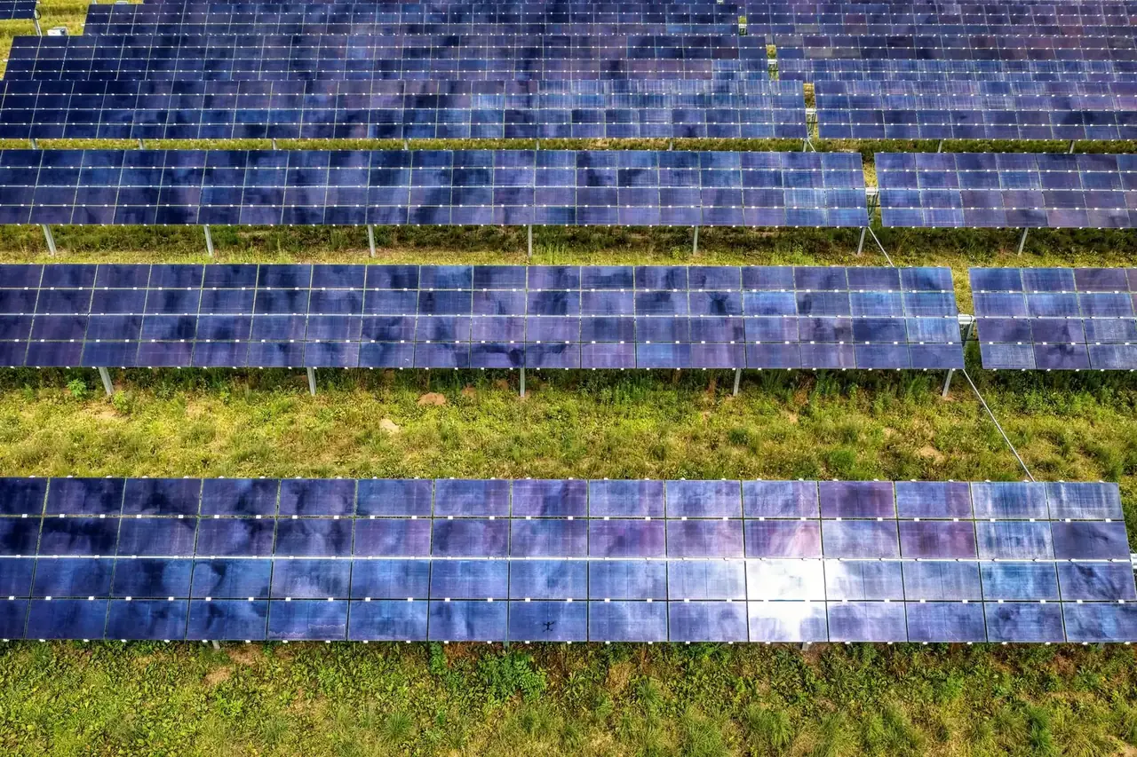
Solar, Wind & Power+
Solar, Wind & Power↗
Environment & response
Security & Emergency Support+
Security & Emergency Support↗
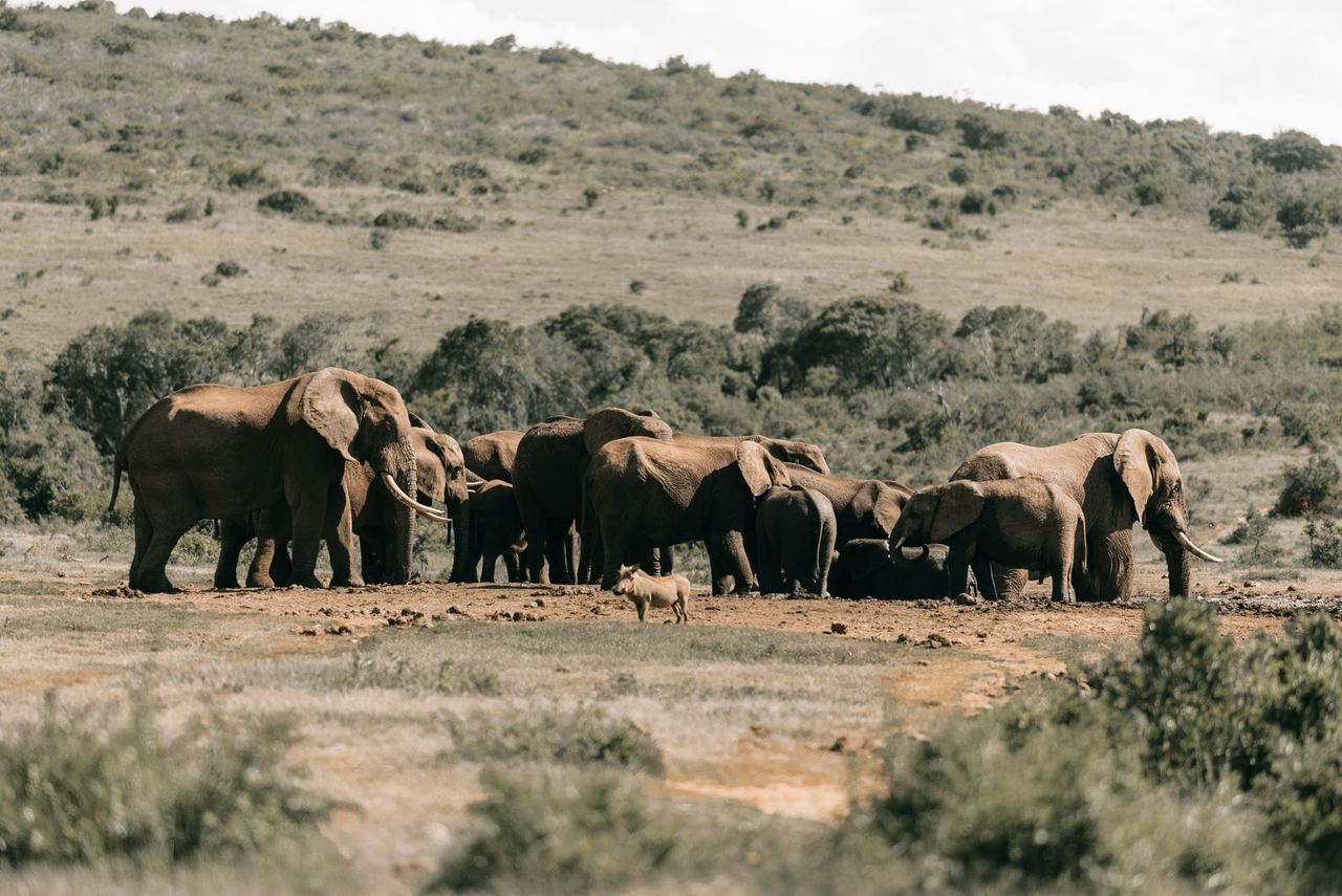
Wildlife & Conservation+
Wildlife & Conservation↗
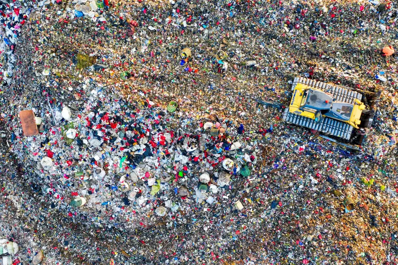
Waste, Recycling & Landfills+
Waste, Recycling & Landfills↗
- Building & Roof Inspection
- Industrial Asset Inspection
- Infrastructure Inspection
- Thermal Inspection
- Aerial Surveying
- 2D Mapping & 3D Modelling
- Stockpile Volume Measurement
- Earthworks & Cut and Fill
- Multispectral Mapping
- Drone Seeding
- Drone Fertiliser Spreading
- Progress & Condition Monitoring
- Aerial Counts & Asset Inventories
- Fire & Incident Observation