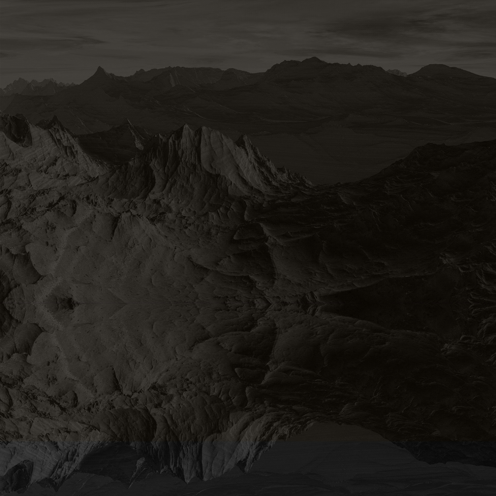
Blasting Monitoring & Pre-Blast Surveys
Optimise blasts and verify results with detailed aerial documentation Mine blasts are complex operations requiring precise planning and careful execution. Our drones support every stage—from pre‑blast mapping to post‑blast analysis—by providing fast, high‑resolution imagery and 3D models without shutting down the pit. Before a blast, we survey the blast area to create an up‑to‑date surface model. This helps engineers design the pattern, calculate burden and spacing, and ensure that holes are drilled to the correct depths. The Mavic 3EnterpriseMultispectral is ideal for this work, as its RGB and multispectral cameras capture both the visible surface and subsurface vegetative indicators. The RTK module ensures the resulting model is accurately geo‑referenced.
During the blast, drones can be positioned at safe distances to record video for regulatory documentation. The high‑zoom telephoto lens on the Matrice 4Thermal allows close‑up views of detonation sequences and fly rock trajectories without risking personnel. After the blast, a repeat survey produces a fresh 3D model of the muck pile. Comparing pre‑ and post‑blast models shows fragmentation, heave, and throw, helping to evaluate the blast’s effectiveness. This feedback supports continuous improvement, leading to better fragmentation, reduced oversize, and optimised use of explosives.
Benefits for operations
-
Improved blast design: Accurate terrain models assist with burden calculations and hole placement, reducing the risk of misfires or poor fragmentation.
-
Safety: Capture blast footage from the air instead of placing cameras on the ground; maintain safe separation distances for personnel.
-
Regulatory compliance: Provide clear, geo‑tagged documentation of blast setup and results for environmental and safety reporting.
-
Process optimisation: Analyse muck pile distribution to adjust drilling and charging parameters for future blasts.
Because drones can take off quickly and repeat the same flight paths, they fit easily into the tight schedules of blasting operations and help capture dynamic events like blasts safely and consistently.

Get a Quote:
Ready to take your project to new heights? At Vision Dynamics, we're here to provide you with tailored solutions that meet your unique needs. Whether you're interested in aerial video and photography, ground video and photography, mapping and surveying, or photo and video editing, our team is dedicated to delivering excellence.